Dullabcherra | |
|---|---|
Town | |
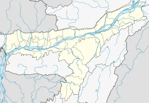 Dullabcherra Location in Assam, India  Dullabcherra Dullabcherra (India) | |
| Coordinates: 24°48′N 92°43′E / 24.800°N 92.717°E | |
| Country | |
| State | Assam |
| District | Karimganj |
| Elevation | 14 m (46 ft) |
| Languages | |
| • Official | Bengali |
| Time zone | UTC+5:30 (IST) |
| PIN | |
| Lok Sabha constituency | Karimganj (Lok Sabha constituency) |
| Vidhan Sabha constituency | Ratabari (Assembly constituency) |
Dullabcherra ( also known as Durllavcherra ) a township located in Karimganj district in the Indian state of Assam. It is 375 kilometres south of the state capital Guwahati and 57 kilometres south of the district headquarters Karimganj.
Etymology
The name "Dullabcherra" originated meaning from the Singla River word Dullab (meaning "rare") and cherra (meaning "riverbank").
Connectivity
Dullabcherra is connected by road and railways to the rest of the country.
Education
There’s a wide range of private schools in Dullabcherra, including Education Department Govt of Assam schools.
References
This article is issued from Wikipedia. The text is licensed under Creative Commons - Attribution - Sharealike. Additional terms may apply for the media files.