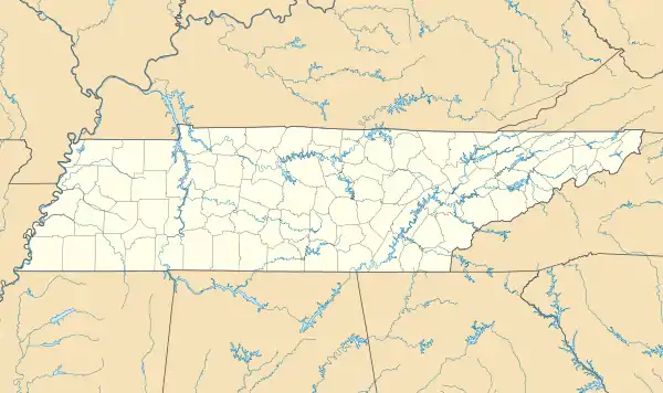
Dunbar-Carver Historic District | |
  | |
| Location | Along E. Jefferson St. & roughly bounded by Anderson Ave., E. Main St. & RR tracks, Brownsville, Tennessee |
|---|---|
| Coordinates | 35°35′31″N 89°15′09″W / 35.59194°N 89.25250°W |
| Area | 32.7 acres (13.2 ha) |
| MPS | Historic Resources of Brownsville, Tennessee |
| NRHP reference No. | 14001224 |
| Added to NRHP | January 27, 2015 |
The Dunbar-Carver Historic District in Brownsville, Tennessee is a 32.7 acres (13.2 ha) historic district which was listed on the National Register of Historic Places in 2015.
The district is a historic center for Brownsville's African American middle-class citizens. It includes 23 contributing buildings and three non-contributing ones, mostly along E. Jefferson Street in Brownsville.[1]
It was listed on the National Register consistent with guidelines established in a 2014 study of historic resources in Brownsville.[2]
References
- ↑ Rebecca Hightower (May 5, 2014). "National Register of Historic Places Inventory/Nomination: Dunbar-Carver Historic District" (PDF). National Park Service. Retrieved April 27, 2017. Includes 19 photos (see photo captions page 27).
- ↑ Rebecca Hightower (February 17, 2014). "National Register of Historic Places Multiple Property Documentation: Historic Resources of Brownsville, Tennessee 1823-1970". National Park Service. Retrieved April 26, 2017.
This article is issued from Wikipedia. The text is licensed under Creative Commons - Attribution - Sharealike. Additional terms may apply for the media files.