Duren Sawit, Duren Sawit | |
|---|---|
Kelurahan | |
 Duren Sawit, Duren Sawit | |
| Coordinates: 6°13′51.3″S 106°54′52.7″E / 6.230917°S 106.914639°E | |
| Country | Indonesia |
| Province | Jakarta |
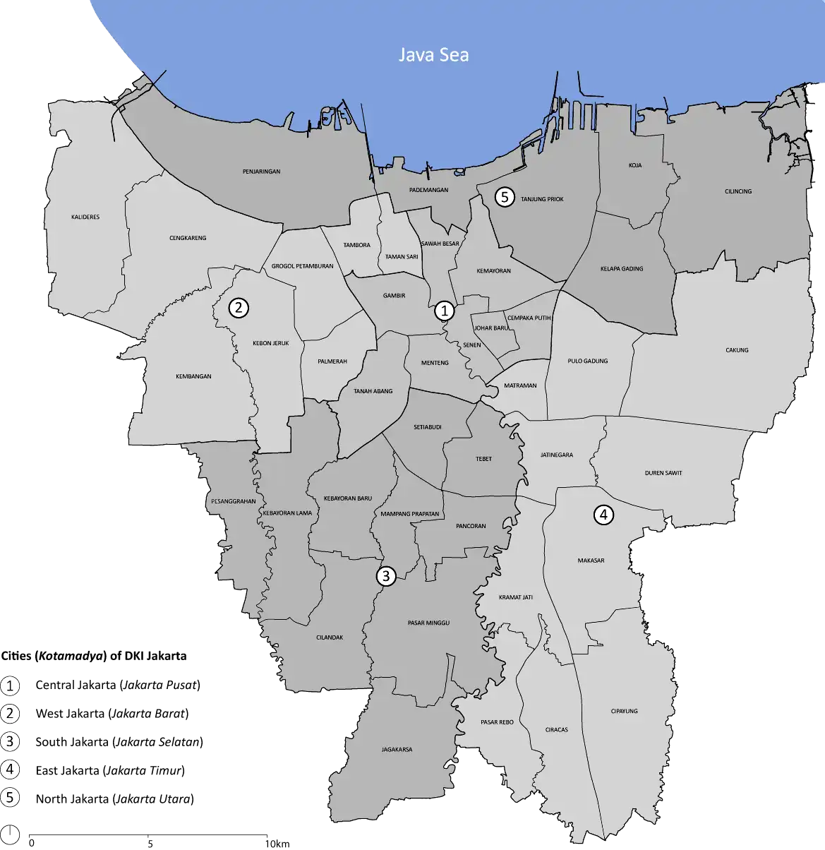
| City | East Jakarta |
| District | Duren Sawit |
| Area | |
| • Total | 4.55 km2 (1.76 sq mi) |
| Population (2016[1]) | |
| • Total | 69,517 |
| • Density | 15,000/km2 (40,000/sq mi) |
Duren Sawit is a village (kelurahan) of Duren Sawit, East Jakarta, Indonesia. The village is also the seat of administration of the Duren Sawit district. It has a population of just under 70,000 in 2016, making it the fourth most populated village in the district.[1]
It was previously part of the Jatinegara district until 1990, when a presidential decree created the Duren Sawit district.[2]
References
- 1 2 "Kecamatan Duren Sawit dalam Angka 2017". Statistics Indonesia. Retrieved 23 May 2018.
- ↑ "Peraturan Pemerintah Nomor 60 Tahun 1990". hukumonline.com (in Indonesian). President of Indonesia. Retrieved 23 May 2018.
This article is issued from Wikipedia. The text is licensed under Creative Commons - Attribution - Sharealike. Additional terms may apply for the media files.