| Eagle Rest Peak | |
|---|---|
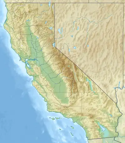 Eagle Rest Peak Location in California | |
| Highest point | |
| Elevation | 6,008 ft (1,831 m) NAVD 88[1] |
| Prominence | 968 ft (295 m)[1] |
| Listing | Hundred Peaks Section[2] |
| Coordinates | 34°54′27″N 119°08′01″W / 34.9074739°N 119.1337189°W[3] |
| Geography | |
| Location | Kern County, California, U.S. |
| Parent range | San Emigdio Mountains |
| Topo map | USGS Eagle Rest Peak |
| Climbing | |
| Easiest route | Scramble, mostly class 2 with a class 3 summit block[2] |
Eagle Rest Peak is a remote peak in the San Emigdio Mountains, located in southern Kern County, California, 12 miles (19 km) west of the settlement of Grapevine and Interstate 5.
Wind Wolves Preserve
The mountain is in the Wind Wolves Preserve, owned by The Wildlands Conservancy.[4][5]
References
- 1 2 "Eagle Rest Peak, California". Peakbagger.com. Retrieved 2009-08-01.
- 1 2 "Eagle Rest Peak". Hundred Peaks Section List. Angeles Chapter, Sierra Club. Retrieved 2010-01-07.
- ↑ "Eagle Rest Peak". Geographic Names Information System. United States Geological Survey, United States Department of the Interior. Retrieved 2009-08-01.
- ↑ "Eagle Rest Peak (San Emigdio Mtns.)". SummitPost.org. Retrieved 2010-01-07.
- ↑ Roth, Sammy (2019-07-31). "California farmers are planting solar panels as water supplies dry up". Los Angeles Times. Retrieved 2019-08-01.
External links
This article is issued from Wikipedia. The text is licensed under Creative Commons - Attribution - Sharealike. Additional terms may apply for the media files.