| East Barkwith | |
|---|---|
 St Mary's Church, East Barkwith | |
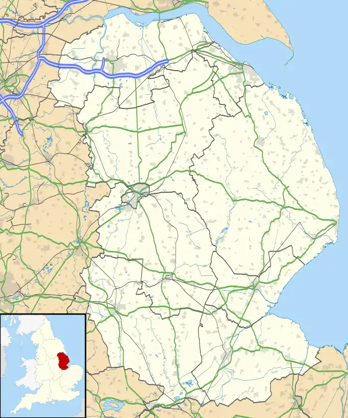
 East Barkwith Location within Lincolnshire | |
| Population | 373 (Including Panton. 2011)[1] |
| OS grid reference | TF168814 |
| • London | 125 mi (201 km) S |
| District | |
| Shire county | |
| Region | |
| Country | England |
| Sovereign state | United Kingdom |
| Post town | Market Rasen |
| Postcode district | LN8 |
| Police | Lincolnshire |
| Fire | Lincolnshire |
| Ambulance | East Midlands |
| UK Parliament | |
East Barkwith is a village and civil parish in the East Lindsey district of Lincolnshire, England. It is situated on the A157, and approximately 13 miles (21 km) north-east from the city and county town of Lincoln,
The parish church is dedicated to Saint Mary and is a Grade II* listed building dating from the early 12th century, with later restorations, and is built of greenstone, limestone and ironstone.[2]
There was a school here which opened in January 1873 as a National School. and closed in April 1987 as East Barkwith CE School.[3]
The village was served by East Barkwith railway station which opened in 1876 and closed in 1958.[4]
East Barkwith civil parish includes the village of Panton.[5] It also includes the deserted medieval village (DMV), of Hardwick, which is listed in the Domesday Book of 1086.[6][7]
References
- ↑ "Parish population 2011". Archived from the original on 11 October 2016. Retrieved 23 August 2015.
- ↑ "Church of St Mary, East Barkwith". British Listed Buildings. Retrieved 27 June 2011.
- ↑ "East Barkwith CE School". Lincs to the Past. Lincolnshire Archives. Retrieved 27 June 2011.
- ↑ "East Barkwith". Disused stations – Site Record. Subterranea Britannica. Retrieved 27 June 2011.
- ↑ Historic England. "Panton (351448)". Research records (formerly PastScape). Retrieved 27 June 2011.
- ↑ Hardwick in the Domesday Book. Retrieved 27 June 2011.
- ↑ Historic England. "Hardwick (1049145)". Research records (formerly PastScape). Retrieved 27 June 2011.
External links
 Media related to East Barkwith at Wikimedia Commons