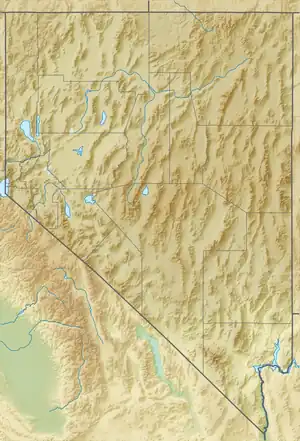
| East Mormon Mountains | |
|---|---|
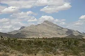 East Mormon Mountains | |
| Highest point | |
| Elevation | 1,471 m (4,826 ft) |
| Geography | |
| Country | United States |
| State | Nevada |
| District | Lincoln County |
| Range coordinates | 36°55′54.900″N 114°18′39.928″W / 36.93191667°N 114.31109111°W |
| Topo map | USGS Davidson Peak |
The East Mormon Mountains is a mountain range in Lincoln County, Nevada.[1] As their name implies, they are east of the Mormon Mountains.
References
This article is issued from Wikipedia. The text is licensed under Creative Commons - Attribution - Sharealike. Additional terms may apply for the media files.