Eau Claire | |
|---|---|
Community | |
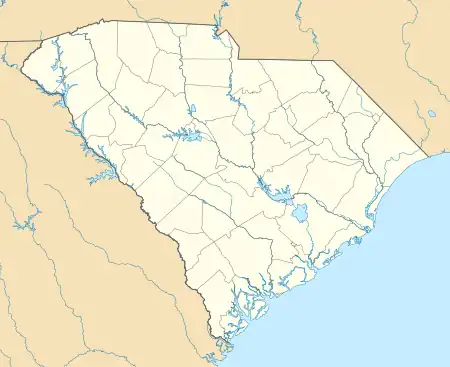
 Eau Claire Location of Eau Claire in South Carolina | |
| Coordinates: 34°03′40″N 81°04′50″W / 34.06111°N 81.08056°W | |
| Country | United States |
| State | South Carolina |
| County | Richland County |
| Elevation | 282 ft (86 m) |
| Time zone | UTC-5 (Eastern (EST)) |
| • Summer (DST) | UTC-4 (EDT) |
| ZIP code | 29203 |
| Area code | 803 |
| GNIS feature ID | 1231256[1] |
Eau Claire is a community in Columbia, South Carolina.
Location
The Eau Claire community is generally bordered by North Main Street and Monticello Road to the east, River Drive and Sunset Drive to the south, the Broad River to the west, and Interstate 20 to the north.
Etymology
Eau Claire derives its name from the French for "clear water".
References
External links
This article is issued from Wikipedia. The text is licensed under Creative Commons - Attribution - Sharealike. Additional terms may apply for the media files.