Ebersdorf b.Coburg | |
|---|---|
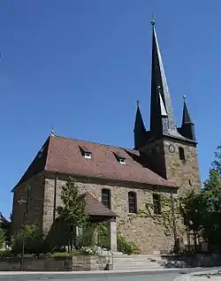 Protestant church | |
 Coat of arms | |
Location of Ebersdorf b.Coburg within Coburg district 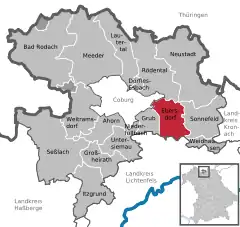 | |
 Ebersdorf b.Coburg 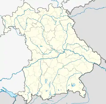 Ebersdorf b.Coburg | |
| Coordinates: 50°13′12″N 11°04′14″E / 50.22000°N 11.07056°E | |
| Country | Germany |
| State | Bavaria |
| Admin. region | Oberfranken |
| District | Coburg |
| Subdivisions | 6 Ortsteile |
| Government | |
| • Mayor (2020–26) | Bernd Reisenweber[1] |
| Area | |
| • Total | 26.50 km2 (10.23 sq mi) |
| Elevation | 310 m (1,020 ft) |
| Population (2022-12-31)[2] | |
| • Total | 6,218 |
| • Density | 230/km2 (610/sq mi) |
| Time zone | UTC+01:00 (CET) |
| • Summer (DST) | UTC+02:00 (CEST) |
| Postal codes | 96237 |
| Dialling codes | 09562 |
| Vehicle registration | CO |
| Website | www.ebersdorf.de |
Ebersdorf bei Coburg is a municipality in the district of Coburg in Bavaria in Germany.
Geography
Location
Ebersdorf lies on the upper course of the river Füllbach, a tributary of the Itz, and at the northern edge of the Lichtenfels Forest (Lichtenfelser Forst).
Subdivisions
Ebersdorf is divided into 6 Ortsteile:
- Ebersdorf
- Friesendorf
- Frohnlach
- Großgarnstadt
- Kleingarnstadt
- Oberfüllbach
Transport
Ebersdorf can be reached by car via motorway A 73 Suhl-Coburg-Nuremberg. Ebersdorf has a station at Eisenach–Lichtenfels railway. The Steinach Valley Railway from Ebersdorf to Neustadt bei Coburg has first been disrupted by the Inner German Border and was later lifted in 2000.
References
- ↑ Liste der ersten Bürgermeister/Oberbürgermeister in kreisangehörigen Gemeinden, Bayerisches Landesamt für Statistik, 15 July 2021.
- ↑ Genesis Online-Datenbank des Bayerischen Landesamtes für Statistik Tabelle 12411-003r Fortschreibung des Bevölkerungsstandes: Gemeinden, Stichtag (Einwohnerzahlen auf Grundlage des Zensus 2011)
Towns and municipalities in Coburg (district) | ||
|---|---|---|
Coat of Arms of Coburg district | ||
This article is issued from Wikipedia. The text is licensed under Creative Commons - Attribution - Sharealike. Additional terms may apply for the media files.