Edmund, Wisconsin | |
|---|---|
 Looking down Main Street in Edmund | |
 Edmund  Edmund | |
| Coordinates: 42°58′03″N 90°15′52″W / 42.96750°N 90.26444°W | |
| Country | United States |
| State | Wisconsin |
| County | Iowa |
| Town | Linden |
| Area | |
| • Total | 0.342 sq mi (0.89 km2) |
| • Land | 0.342 sq mi (0.89 km2) |
| • Water | 0 sq mi (0 km2) |
| Elevation | 1,204 ft (367 m) |
| Population (2010) | |
| • Total | 173 |
| • Density | 510/sq mi (200/km2) |
| Time zone | UTC-6 (Central (CST)) |
| • Summer (DST) | UTC-5 (CDT) |
| Area code | 608 |
| GNIS feature ID | 1564455[1] |
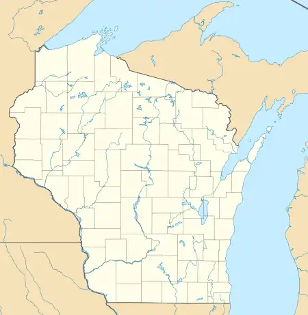
Edmund is a census-designated place (CDP) in the Town of Linden in Iowa County, Wisconsin, United States.[1]
Description
The CDP is located on U.S. Route 18 west of Dodgeville. The community's post office closed on November 2, 2002.[2] As of the 2010 census, Edmund's population was 173.[3]
History
Edmund got its name in 1881 from Edmund V. Baker who owned the land where the settlement was located.[4]
See also
References
- 1 2 U.S. Geological Survey Geographic Names Information System: Edmund
- ↑ "Postmaster Finder - Post Offices by ZIP Code". United States Postal Service. Retrieved September 25, 2011.
- ↑ "U.S. Census website". U.S. Census Bureau. Retrieved April 3, 2011.
- ↑ Chicago and North Western Railway Company (1908). A History of the Origin of the Place Names Connected with the Chicago & North Western and Chicago, St. Paul, Minneapolis & Omaha Railways. p. 67.
External links
![]() Media related to Edmund, Wisconsin at Wikimedia Commons
Media related to Edmund, Wisconsin at Wikimedia Commons
This article is issued from Wikipedia. The text is licensed under Creative Commons - Attribution - Sharealike. Additional terms may apply for the media files.
