Ein Naqquba
עֵין נַקוּבָּא عين نقوبا | |
|---|---|
 | |
 Ein Naqquba 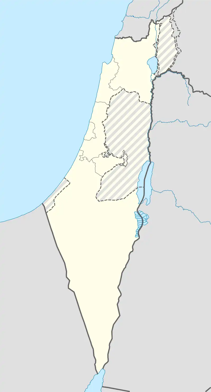 Ein Naqquba | |
| Coordinates: 31°47′36″N 35°7′6″E / 31.79333°N 35.11833°E | |
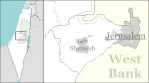
| Country | Israel |
| District | Jerusalem |
| Council | Mateh Yehuda |
| Founded | 1962 |
| Founded by | Former residents of Bayt Naqquba |
| Population (2021)[1] | 3,680 |
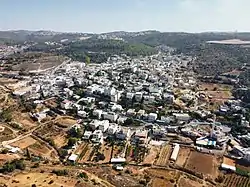
Ein Naqquba (Arabic: عين نقوبا, Hebrew: עֵין נַקוּבָּא) is an Arab village in central Israel. Located west of Jerusalem, it falls under the jurisdiction of Mateh Yehuda Regional Council. In 2021 it had a population of 3,680.[1]
History
.jpg.webp)
The historical village lands of Beit Naqquba as shown in this 1940s Survey of Palestine map; the village was depopulated in 1948 (its inhabitants returning to create Ein Naqquba in 1962) and was replaced by the moshav of Beit Nekofa.
The village was established in 1962 by refugees from the village of Bayt Naqquba, which had been depopulated during the 1948 Arab–Israeli War and whose lands had become Beit Nekofa. It was part of Ein Rafa until 1976, when it was recognised as a separate village.
Gallery
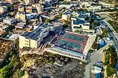 Branco Weiss School Ein Nakuba - Ein Rafa
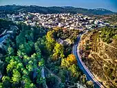 Khirbat Iqbalā, Aqua Bella, a historic and nature site near the village. The cemetery of the village is located inside the site
References
- 1 2 "Regional Statistics". Israel Central Bureau of Statistics. Retrieved 22 February 2023.
This article is issued from Wikipedia. The text is licensed under Creative Commons - Attribution - Sharealike. Additional terms may apply for the media files.