26°8′35.22″N 31°58′6.41″E / 26.1431167°N 31.9684472°E
El-Amra
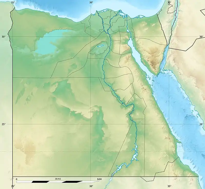
Map of Egypt showing El-Amra, (clickable map)
El-Amrah is a site about 120 km (75 mi) south of Badari, Upper Egypt.[1]
Archaeological discoveries in 1901 at El-Amrah, were the basis of what is now known as the Amratian culture, a Naqada I culture[2] of predynastic Upper Egypt, that lasted from 4400 BC to c. 3500 BC.[3]
 Model cattle, El-Amra, Naqada I, British Museum EA 35506
 Pre-Dynastic model house, El-Amra, Naqada IIC until 3200 BCE, British Museum EA35505
References
- ↑ David Randall-MacIver; A C Mace; F Ll Griffith El Amrah and Abydos, 1899-1901, (Offices of the Egypt exploration fund 1902, London, Boston, Mass.,).
- ↑ Grimal, Nicolas (1992). A History of Ancient Egypt. Blackwell. p. 28.
- ↑ Shaw, Ian, ed. (2000). The Oxford History of Ancient Egypt. Oxford University Press. p. 479.

This article is issued from Wikipedia. The text is licensed under Creative Commons - Attribution - Sharealike. Additional terms may apply for the media files.