El Pato Air Base Base aérea El Pato | |||||||||||
|---|---|---|---|---|---|---|---|---|---|---|---|
| Summary | |||||||||||
| Airport type | Military | ||||||||||
| Owner | Peruvian Air Force | ||||||||||
| Operator | Peruvian Air Force | ||||||||||
| Location | |||||||||||
| Elevation AMSL | 286 ft / 87 m | ||||||||||
| Coordinates | 4°33′00″S 81°13′27″W / 4.55000°S 81.22417°W | ||||||||||
| Runways | |||||||||||
| |||||||||||
SPTP
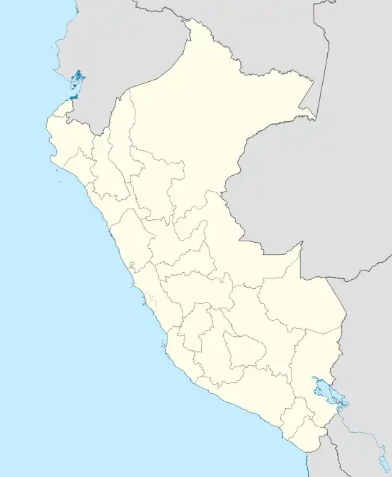
Location of the air base in Peru
El Pato Air Base is a Peruvian Air Force base located near the city of Talara in the Piura Region of Peru, 4.5 kilometres (2.8 mi) northwest of FAP Captain Víctor Montes Arias International Airport.[3]
The El Pato non-directional beacon (Ident: TYL) is located 2.3 nautical miles (4.3 km) southwest of the runway.[4]
See also
References
- ↑ Google Maps - El Pato
- ↑ Airport information for SPTP at Great Circle Mapper.
- ↑ "El Pato Air Base - Perú". World Airport Codes. Retrieved 2016-02-29.
- ↑ El Pato NDB
External links
This article is issued from Wikipedia. The text is licensed under Creative Commons - Attribution - Sharealike. Additional terms may apply for the media files.