El Rancho, Wyoming | |
|---|---|
 El Rancho  El Rancho | |
| Coordinates: 42°16′12″N 105°2′48″W / 42.27000°N 105.04667°W | |
| Country | United States |
| State | Wyoming |
| County | Platte |
| Area | |
| • Total | 0.58 sq mi (1.49 km2) |
| • Land | 0.58 sq mi (1.49 km2) |
| • Water | 0.0 sq mi (0.0 km2) |
| Elevation | 4,870 ft (1,480 m) |
| Population | 18 |
| Time zone | UTC-7 (Mountain (MST)) |
| • Summer (DST) | UTC-6 (MDT) |
| ZIP Code | 82201 (Wheatland) |
| Area code | 307 |
| FIPS code | 55-24350 |
| GNIS feature ID | 2807540[3] |
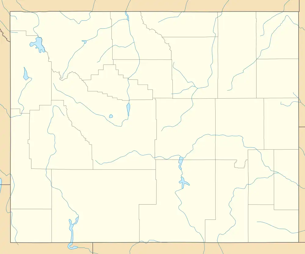
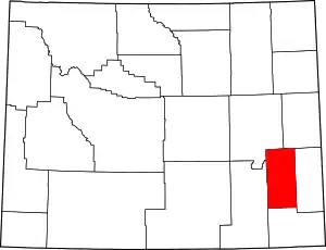
El Rancho is an unincorporated area and census-designated place (CDP) in Platte County, Wyoming, United States. As of the 2020 census, it had a population of 18.[2]
The community is in northern Platte County, on the west side of Interstate 25. Access is from Exit 94 (Wyoming Highway 319). Wheatland, the county seat, is 15 miles (24 km) to the south, and Glendo is 17 miles (27 km) to the north.
References
- ↑ "2020 U.S. Gazetteer Files – Wyoming". United States Census Bureau. Retrieved October 27, 2021.
- 1 2 "El Rancho CDP, Wyoming: 2020 DEC Redistricting Data (PL 94-171)". U.S. Census Bureau. Retrieved October 27, 2021.
- ↑ "El Rancho Census Designated Place". Geographic Names Information System. United States Geological Survey, United States Department of the Interior.
This article is issued from Wikipedia. The text is licensed under Creative Commons - Attribution - Sharealike. Additional terms may apply for the media files.
