Ellertshaar | |
|---|---|
Hamlet | |
 Ellertshaar in the municipality of Borger-Odoorn. | |
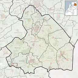 Ellertshaar Location in the Netherlands 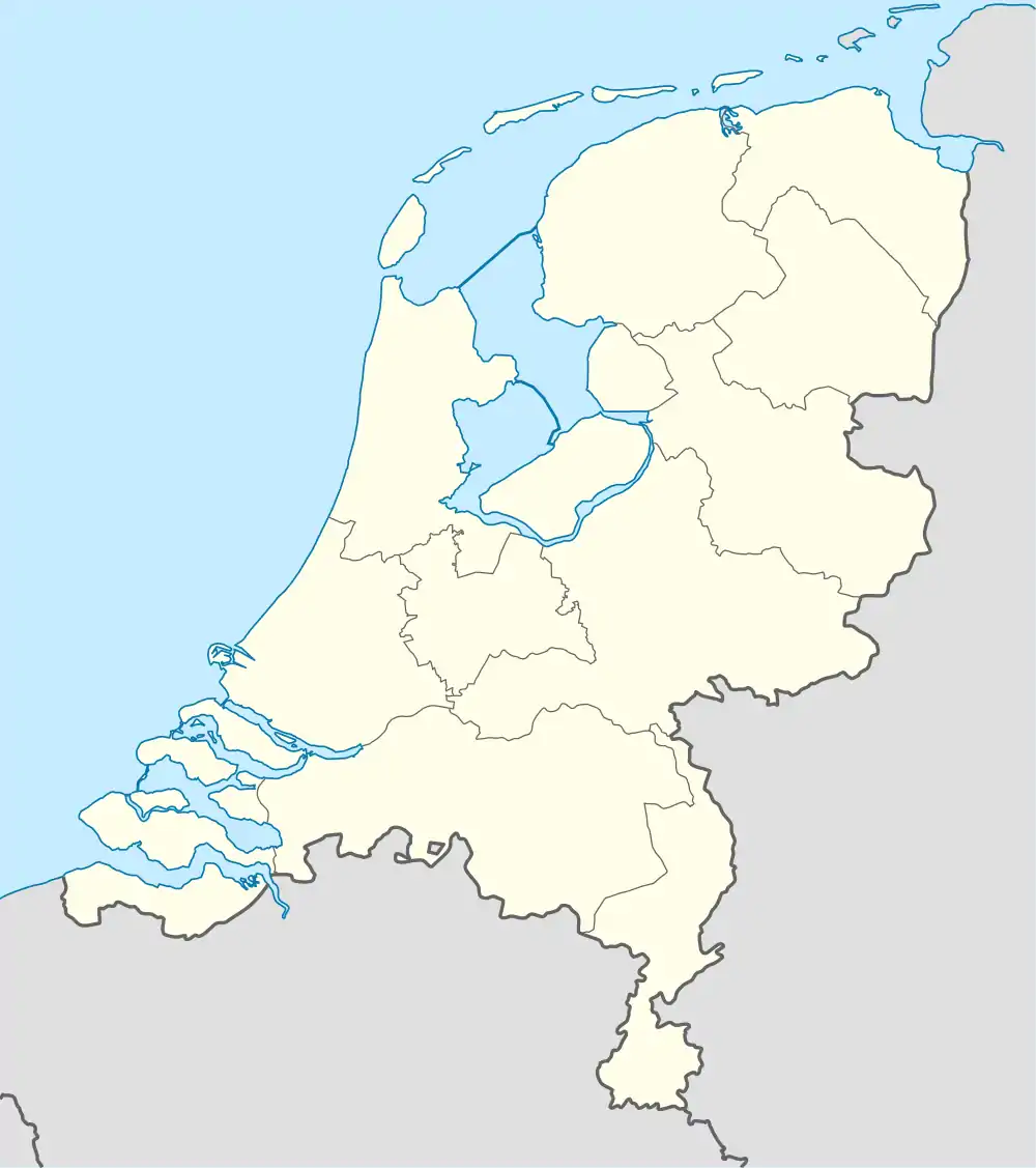 Ellertshaar Ellertshaar (Netherlands) | |
| Coordinates: 52°54′N 6°44′E / 52.900°N 6.733°E | |
| Country | Netherlands |
| Province | Drenthe |
| Municipality | Borger-Odoorn |
| Area | |
| • Total | 2.38 km2 (0.92 sq mi) |
| Elevation | 17 m (56 ft) |
| Population (2021)[1] | |
| • Total | 30 |
| • Density | 13/km2 (33/sq mi) |
| Time zone | UTC+1 (CET) |
| • Summer (DST) | UTC+2 (CEST) |
| Postal code | 9535[1] |
| Dialing code | 0599 |
Ellertshaar is a hamlet in the Dutch province of Drenthe. It is a part of the municipality of Borger-Odoorn, and lies about 17 km southeast of Assen.
The hamlet was first mentioned in 1851 as Eldershaar, and means "alder trees on a sandy ridge".[3] Ellershaar was home to 8 people in 1840.[4]
References
- 1 2 3 "Kerncijfers wijken en buurten 2021". Central Bureau of Statistics. Retrieved 11 April 2022.
- ↑ "Postcodetool for 9535TA". Actueel Hoogtebestand Nederland (in Dutch). Het Waterschapshuis. Retrieved 11 April 2022.
- ↑ "Ellertshaar - (geografische naam)". Etymologiebank (in Dutch). Retrieved 11 April 2022.
- ↑ "Ellertshaar". Plaatsengids (in Dutch). Retrieved 11 April 2022.
This article is issued from Wikipedia. The text is licensed under Creative Commons - Attribution - Sharealike. Additional terms may apply for the media files.