Empress Airport | |||||||||||
|---|---|---|---|---|---|---|---|---|---|---|---|
| Summary | |||||||||||
| Airport type | Public | ||||||||||
| Operator | Village of Empress | ||||||||||
| Location | Special Area No. 2, near Empress, Alberta | ||||||||||
| Time zone | MST (UTC−07:00) | ||||||||||
| • Summer (DST) | MDT (UTC−06:00) | ||||||||||
| Elevation AMSL | 2,211 ft / 674 m | ||||||||||
| Coordinates | 50°56′01″N 110°00′49″W / 50.93361°N 110.01361°W | ||||||||||
| Map | |||||||||||
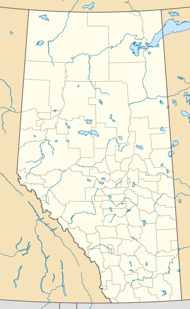 CYEA Location in Alberta | |||||||||||
| Runways | |||||||||||
| |||||||||||
Source: Canada Flight Supplement[1] | |||||||||||
Empress Airport (ICAO: CYEA) is located 2 nautical miles (3.7 km; 2.3 mi) south of Empress, Alberta, Canada.
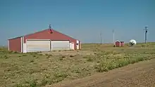
Hangar at Empress Airport
See also
References
External links
- Page about this airport on COPA's Places to Fly airport directory
| By name | |
|---|---|
| By location indicator | |
| By province/territory | |
| By area | |
| National Airports System | |
| Related | |
| |
This article is issued from Wikipedia. The text is licensed under Creative Commons - Attribution - Sharealike. Additional terms may apply for the media files.