Enriquillo | |
|---|---|
 Enriquillo | |
| Coordinates: 17°54′N 71°14′W / 17.900°N 71.233°W | |
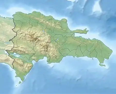
| Country | Dominican Republic |
| Province | Barahona |
| Area | |
| • Total | 354.1 km2 (136.7 sq mi) |
| Population | |
| • Total | 10,254 |
| • Density | 29/km2 (75/sq mi) |
Enriquillo (also Enriquilla and Petit Trou) is a small town in the Province of Barahona, on the Caribbean coast of the Dominican Republic.
Climate
| Climate data for Enriquillo, Barahona (1961–1990) | |||||||||||||
|---|---|---|---|---|---|---|---|---|---|---|---|---|---|
| Month | Jan | Feb | Mar | Apr | May | Jun | Jul | Aug | Sep | Oct | Nov | Dec | Year |
| Record high °C (°F) | 33.2 (91.8) |
33.8 (92.8) |
34.5 (94.1) |
34.0 (93.2) |
34.0 (93.2) |
34.0 (93.2) |
34.3 (93.7) |
36.2 (97.2) |
35.3 (95.5) |
35.8 (96.4) |
35.8 (96.4) |
34.5 (94.1) |
36.2 (97.2) |
| Mean daily maximum °C (°F) | 30.9 (87.6) |
30.9 (87.6) |
31.2 (88.2) |
31.4 (88.5) |
31.4 (88.5) |
31.6 (88.9) |
31.9 (89.4) |
32.1 (89.8) |
32.1 (89.8) |
32.0 (89.6) |
31.8 (89.2) |
31.2 (88.2) |
31.5 (88.7) |
| Mean daily minimum °C (°F) | 21.1 (70.0) |
21.5 (70.7) |
21.8 (71.2) |
21.7 (71.1) |
21.8 (71.2) |
22.2 (72.0) |
22.6 (72.7) |
23.0 (73.4) |
22.8 (73.0) |
22.3 (72.1) |
21.5 (70.7) |
22.0 (71.6) |
22.0 (71.6) |
| Record low °C (°F) | 9.0 (48.2) |
12.0 (53.6) |
13.8 (56.8) |
12.0 (53.6) |
12.0 (53.6) |
12.8 (55.0) |
12.0 (53.6) |
12.0 (53.6) |
11.3 (52.3) |
12.0 (53.6) |
10.0 (50.0) |
9.4 (48.9) |
9.0 (48.2) |
| Average rainfall mm (inches) | 52.9 (2.08) |
49.7 (1.96) |
60.0 (2.36) |
79.9 (3.15) |
169.9 (6.69) |
191.7 (7.55) |
72.0 (2.83) |
140.8 (5.54) |
230.5 (9.07) |
213.7 (8.41) |
108.9 (4.29) |
43.5 (1.71) |
1,413.5 (55.65) |
| Average rainy days (≥ 1.0 mm) | 5.9 | 5.7 | 6.3 | 7.8 | 12.4 | 12.4 | 6.5 | 9.1 | 12.8 | 13.5 | 7.4 | 4.2 | 104.0 |
| Source: NOAA[1] | |||||||||||||
References
- ↑ "Enriquillo Climate Normals 1961-1990". National Oceanic and Atmospheric Administration. Retrieved September 12, 2016.
This article is issued from Wikipedia. The text is licensed under Creative Commons - Attribution - Sharealike. Additional terms may apply for the media files.