 | ||||
|---|---|---|---|---|
| Tugimaantee 13 | ||||
 | ||||
| Route information | ||||
| Length | 52.7 km[1] (32.7 mi) | |||
| Major junctions | ||||
| From | Jägala ( | |||
| To | Käravete ( | |||
| Location | ||||
| Country | Estonia | |||
| Highway system | ||||
| ||||
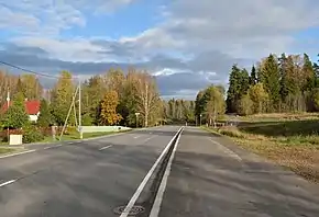
Tugimaantee 13 (ofcl. abbr. T13), also called the Jägala–Käravete highway (Estonian: Jägala–Käravete maantee), is a 52.7-kilometre-long[1] national basic road in northern Estonia. The highway begins at Jägala on national road 1 and ends at Käravete on national road 5.[2]
Route
T13 passes through the following counties and municipalities:[2]
- Harju County
- Lääne-Viru County
- Järva County
See also
References
- 1 2 "Riigimaanteede nimekiri ja riigimaanteede liigid" (in Estonian). riigiteataja.
- 1 2 "Maainfo Kaardirakendus" (in Estonian and English). Maa-amet. Retrieved 11 August 2018.
External links
| Main roads |  | |
|---|---|---|
| Basic roads | ||
This article is issued from Wikipedia. The text is licensed under Creative Commons - Attribution - Sharealike. Additional terms may apply for the media files.