| Eureka Peak | |
|---|---|
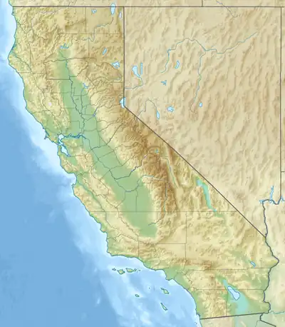 Eureka Peak Location in California  Eureka Peak Eureka Peak (the United States) | |
| Highest point | |
| Elevation | 7,448 ft (2,270 m)[1] |
| Prominence | 1,167 ft (356 m)[2] |
| Coordinates | 39°44′49.72″N 120°43′17.76″W / 39.7471444°N 120.7216000°W |
| Geography | |
| Location | Plumas County, California, United States |
| Parent range | Sierra Nevada[3] |
| Topo map | USGS Gold Lake |
Eureka Peak is a 7,447-foot granite peak in the Northern Sierra Nevada in Plumas County, California in the United States.
Formerly known as Gold Mountain, it is located within the Plumas Eureka State Park.[4]
Prospectors in search of the mystical Gold Lake discovered gold in a quartz outcrop on May 23, 1851, and gold mining continued until 1942.[5][6]
The mine's tramway may have served as the world's first ski lift.[7]
References
- ↑ "Eureka Peak". Geographic Names Information System. United States Geological Survey, United States Department of the Interior. January 19, 1981. Retrieved April 6, 2023.
- ↑ "Eureka Peak, California". Peakbagger.com. Retrieved April 6, 2023.
- ↑ "Sierra Nevada". Peakbagger.com. Retrieved April 6, 2023.
- ↑ "Plumas Eureka State Park". CA.gov.
- ↑ "Plumas Eureka Mine". Western Mining History.
- ↑ "Plumas Eureka Mine". USGS.
- ↑ "History of the Plumas Eureka Ski Bowl". Plumas Ski Club.
This article is issued from Wikipedia. The text is licensed under Creative Commons - Attribution - Sharealike. Additional terms may apply for the media files.