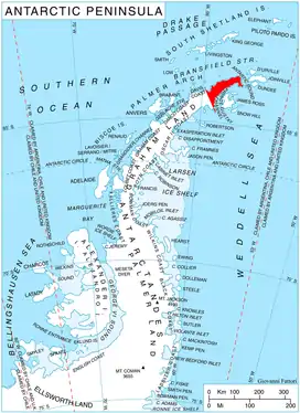
Location of Trinity Peninsula.
Eyrie Bay is a bay, 2.5 miles (4 km) wide at its mouth and extending 3 miles (5 km) inland, lying north of Jade Point on Yatrus Promontory, Trinity Peninsula in Antarctica. It was so named by the UK Antarctic Place-Names Committee after an eagle's eyrie because of the proximity to Eagle Island.[1]
Map
- Trinity Peninsula. Scale 1:250000 topographic map No. 5697. Institut für Angewandte Geodäsie and British Antarctic Survey, 1996.
References
- ↑ "EyrieBay". Geographic Names Information System. United States Geological Survey, United States Department of the Interior. Retrieved 2012-03-12.
![]() This article incorporates public domain material from "Eyrie Bay". Geographic Names Information System. United States Geological Survey.
This article incorporates public domain material from "Eyrie Bay". Geographic Names Information System. United States Geological Survey.
63°35′S 57°38′W / 63.583°S 57.633°W
This article is issued from Wikipedia. The text is licensed under Creative Commons - Attribution - Sharealike. Additional terms may apply for the media files.