Farmer, Ohio | |
|---|---|
 Farmer | |
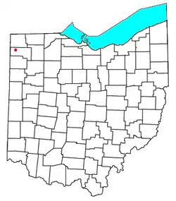 Location of Farmer | |
| Coordinates: 41°22′59″N 84°37′50″W / 41.38306°N 84.63056°W | |
| Country | United States |
| State | Ohio |
| County | Defiance |
| Elevation | 748 ft (228 m) |
| Time zone | UTC-5 (Eastern (EST)) |
| • Summer (DST) | UTC-4 (EDT) |
| ZIP code | 43520 |
| Area code | 419 |
| GNIS feature ID | 1064639[1] |
Farmer is an unincorporated community in central Farmer Township, Defiance County, Ohio, United States. It has a post office with the ZIP code 43520.[2] It is located at the intersection of State Routes 2 and 249.
History
Farmer was named for Nathaniel Farmer, an early settler.[3]
Notable
- Abe L. Biglow, businessman, educator, and member of the Wisconsin State Assembly
- William P. Richardson, co-founder and first Dean of Brooklyn Law School
References
- 1 2 "US Board on Geographic Names". United States Geological Survey. October 25, 2007. Retrieved January 31, 2008.
- ↑ USPS – Cities by ZIP Code
- ↑ Peacefull, Leonard (1996). A Geography of Ohio. Kent State University Press. p. 217. ISBN 9780873385251. Retrieved December 8, 2013.
Municipalities and communities of Defiance County, Ohio, United States | ||
|---|---|---|
| City |  Map of Ohio highlighting Defiance County | |
| Villages | ||
| Townships | ||
| CDP | ||
| Unincorporated communities | ||
| Ghost towns | ||
41°22′59″N 84°37′50″W / 41.38306°N 84.63056°W
This article is issued from Wikipedia. The text is licensed under Creative Commons - Attribution - Sharealike. Additional terms may apply for the media files.