 | |
|---|---|
| Kantatie 52, Stamväg 52 | |
 | |
| Route information | |
| Maintained by the Finnish Transport Agency | |
| Length | 111 km (69 mi) |
| Major junctions | |
| From | Raseborg |
| To | Jokioinen |
| Location | |
| Country | Finland |
| Major cities | Salo Somero |
| Highway system | |
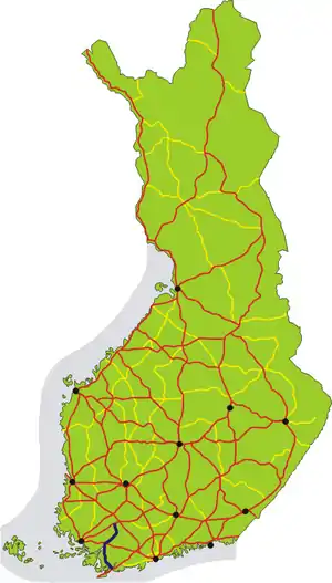
The Finnish national road 52 (Finnish: Kantatie 52; Swedish: Stamväg 52) is the 2nd class main route between the city of Raseborg and the municipality of Jokioinen in southwest part of Finland.[1] It runs overall 111 kilometers from the Ekenäs town in Raseborg passing through the town centers of Salo and Somero to the Haapaniemi village and the national road 10 in Jokioinen.[2]
Route
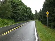
The main road's forest landscape in Paltta, Somero.
The road passes through the following localities:
References
- ↑ Kantatie 52 (in Finnish)
- ↑ Kantatie 52 (in Finnish)
External links
 Media related to National road 52 (Finland) at Wikimedia Commons
This article is issued from Wikipedia. The text is licensed under Creative Commons - Attribution - Sharealike. Additional terms may apply for the media files.