East Olympia, Washington | |
|---|---|
 East Olympia, Washington | |
| Coordinates: 46°58′03″N 122°50′08″W / 46.96750°N 122.83556°W | |
| Country | United States |
| State | Washington |
| County | Thurston |
| Elevation | 220 ft (70 m) |
| Time zone | UTC-8 (Pacific (PST)) |
| • Summer (DST) | UTC-7 (PDT) |
| ZIP code | 98540 |
| Area code | 360 |
| GNIS feature ID | 1504649[1] |
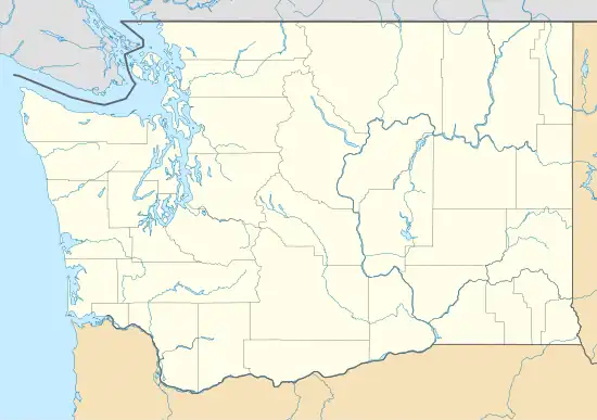
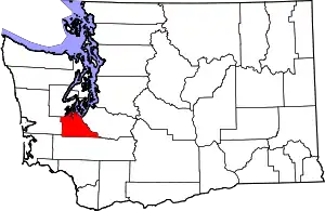
East Olympia is an unincorporated community in Thurston County, Washington, United States. The community is 6 miles (9.7 km) south-southeast of downtown Olympia.
History
The Olympia area's station on Amtrak's Coast Starlight line was located in East Olympia before it moved to Lacey in 1994.[2]
Rural lands immediately southeast of the community were under consideration, beginning in 2022, for a proposed new airport to "help meet commercial and cargo demand" for Washington state.[3][4]
Climate
This region experiences warm (but not hot) and dry summers, with no average monthly temperatures above 71.6 °F. According to the Köppen Climate Classification system, East Olympia has a warm-summer Mediterranean climate, abbreviated "Csb" on climate maps.[5]
References
- ↑ U.S. Geological Survey Geographic Names Information System: East Olympia, Washington
- ↑ "Centennial Station - Lacey, Washington". Waymarking.com. Retrieved January 21, 2011.
- ↑ Mikkelsen, Drew (November 10, 2022). "Thurston County residents concerned over proposed airport site". King5 News. Retrieved January 14, 2023.
- ↑ Bilbao, Martin. "Proposed Airport in Rural Thurston County Will Remain Under Consideration for Now". The Chronicle (Centralia, Washington). The Olympian. Retrieved January 14, 2023.
- ↑ Climate Summary for East Olympia, Washington
This article is issued from Wikipedia. The text is licensed under Creative Commons - Attribution - Sharealike. Additional terms may apply for the media files.
