| Fish Brook | |
|---|---|
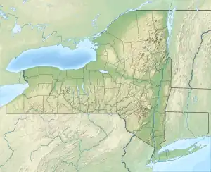
 Location of the mouth of Fish Brook | |
| Location | |
| Country | United States |
| State | New York |
| County | Delaware |
| Physical characteristics | |
| Source | |
| • coordinates | 42°07′29″N 75°12′54″W / 42.1247222°N 75.215°W |
| Mouth | Cannonsville Reservoir |
• coordinates | 42°04′59″N 75°13′23″W / 42.0831413°N 75.2229487°W[1] |
• elevation | 1,148 ft (350 m) |
Fish Brook is a river in Delaware County, New York. It flows into Cannonsville Reservoir west-southwest of Rock Rift.[1]
References
- 1 2 "Fish Brook". Geographic Names Information System. United States Geological Survey, United States Department of the Interior. Retrieved 2018-09-09.
This article is issued from Wikipedia. The text is licensed under Creative Commons - Attribution - Sharealike. Additional terms may apply for the media files.