| Flat Fire | |
|---|---|
| Location | Siskiyou National Forest, near Agness, Oregon |
| Coordinates | 42°30′57″N 124°2′14″W / 42.51583°N 124.03722°W |
| Statistics | |
| Date(s) | July 15, 2023 – present |
| Burned area | 34,242 acres (13,857 ha) |
| Cause | Human caused |
| Map | |
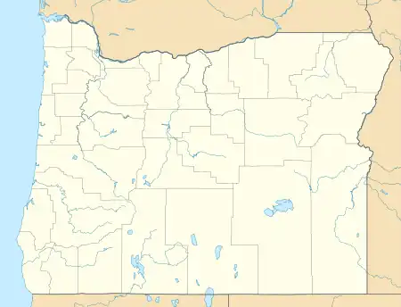 The fires location in south west Oregon | |
The Flat Fire is an active wildfire near Agness, Oregon in Siskiyou National Forest. Ignited at about 5:51 PM PT on July 15, 2023, the fire was human caused.[1] As of August 26, 2023, the fire has burned 34,242 acres (13,857 ha) and is 58% contained.[2]
History
The fire began about 2 miles south east of Agness, Oregon at around 5:51 PM PT on July 15, 2023. As of August 26, 2023, the fire had burned 34,242 acres (13,857 ha) and was 58% contained.[2]
Cause
Impact
Level 3 evacuations were issued for the area surrounding the Oak Flat Campground in Curry County, Oregon.[3] A temporary evacuation shelter was set up at Gold Beach High School in Gold Beach, Oregon for anyone displaced by the fire. A closure order is in effect for Siskiyou National Forest lands surrounding the fire.[4]
References
- 1 2 "Oregon wildfires: Bedrock Fire grows to 3,100 acres, degrading Central Oregon air quality". Journal Sentinel. Retrieved July 25, 2023.
- 1 2 3 "Flat Fire". InciWeb. July 20, 2023. Retrieved July 20, 2023.
- ↑ "Experience". experience.arcgis.com. Retrieved July 20, 2023.
- ↑ "Flat Fire spreading quickly in Southern Oregon, growing to almost 13,000 acres". opb. Retrieved July 20, 2023.