| Fonte River | |
|---|---|
 | |
| Location | |
| Country | Guam |
| Physical characteristics | |
| Mouth | |
• coordinates | 13°28′39″N 144°43′45″E / 13.4775000°N 144.7291667°E |
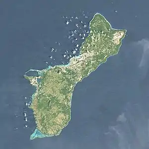
The Fonte River is a river in the United States territory of Guam.[1] The NRHP-listed Fonte River Dam is located in its upper reaches, south of Nimitz Hill Annex.
See also
References
This article is issued from Wikipedia. The text is licensed under Creative Commons - Attribution - Sharealike. Additional terms may apply for the media files.