Fort Simpson Airport | |||||||||||
|---|---|---|---|---|---|---|---|---|---|---|---|
| Summary | |||||||||||
| Operator | Government of the Northwest Territories | ||||||||||
| Location | Fort Simpson, Northwest Territories | ||||||||||
| Time zone | MST (UTC−07:00) | ||||||||||
| • Summer (DST) | MDT (UTC−06:00) | ||||||||||
| Elevation AMSL | 556 ft / 169 m | ||||||||||
| Coordinates | 61°45′37″N 121°14′12″W / 61.76028°N 121.23667°W | ||||||||||
| Map | |||||||||||
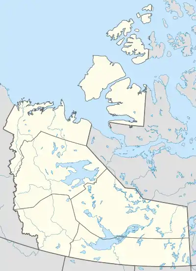 CYS Location in the Northwest Territories  CYS CYS (Canada) | |||||||||||
| Runways | |||||||||||
| |||||||||||
| Statistics (2010) | |||||||||||
| |||||||||||
Fort Simpson Airport (IATA: YFS, ICAO: CYFS) is located 7.4 nautical miles (13.7 km; 8.5 mi) east southeast of Fort Simpson, Northwest Territories, Canada.
Airlines and destinations
| Airlines | Destinations |
|---|---|
| Air Tindi | Yellowknife[4] |
| Canadian North | Hay River, Yellowknife[5] |
Accidents and incidents
- On 26 June 1994, Douglas C-47A C-FROD of Buffalo Airways crashed on approach due to fuel exhaustion. The aircraft was on a cargo flight from Trout Lake Airport.[6] There were two crews on board at that time. There were no fatalities but the aircraft was written off.
See also
References
- ↑ Canada Flight Supplement. Effective 0901Z 16 July 2020 to 0901Z 10 September 2020.
- ↑ Synoptic/Metstat Station Information Archived December 1, 2011, at the Wayback Machine
- ↑ Total aircraft movements by class of operation
- ↑ "Air Tindi Flight Schedule" (PDF). Archived from the original (PDF) on 2013-05-18. Retrieved 2013-05-18.
- ↑ Full network schedule
- ↑ "C-FROD Accident description". Aviation Safety Network. Retrieved 25 June 2010.
External links
- Past three hours METARs, SPECI and current TAFs for Fort Simpson Airport from Nav Canada as available.
| By name | |
|---|---|
| By location indicator | |
| By province/territory | |
| By area | |
| National Airports System | |
| Related | |
| |
This article is issued from Wikipedia. The text is licensed under Creative Commons - Attribution - Sharealike. Additional terms may apply for the media files.