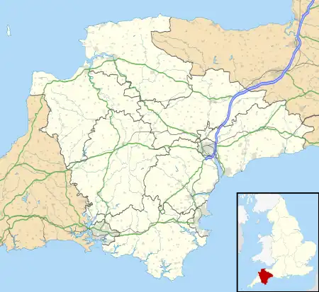
| Fosse Copse | |
|---|---|
 | |
| Geography | |
| Location | Devon, England |
| OS grid | SX719479 |
| Coordinates | 50°19′01″N 3°47′56″W / 50.317°N 3.799°W |
| Area | 1.88 hectares (4.65 acres) |
| Administration | |
| Governing body | Woodland Trust |
Fosse Copse is a woodland in Devon, England, near the village of Loddiswell. It covers a total area of 1.88 hectares (4.65 acres) on the west facing slope of the Avon Valley. It is owned and managed by the Woodland Trust. There is no public access.[1]
References
- ↑ "Fosse Copse". Explore Woods. Woodland Trust. Retrieved 3 July 2016.
This article is issued from Wikipedia. The text is licensed under Creative Commons - Attribution - Sharealike. Additional terms may apply for the media files.