| Fox River | |
|---|---|
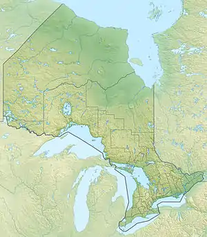 Location of the mouth of the Fox River in Ontario | |
| Location | |
| Country | Canada |
| Province | Ontario |
| Region | Northwestern Ontario |
| District | Thunder Bay |
| Physical characteristics | |
| Source | Unnamed lake |
| • coordinates | 48°20′37″N 85°27′53″W / 48.34361°N 85.46472°W |
| • elevation | 506 m (1,660 ft) |
| Mouth | Pukaskwa River |
• coordinates | 48°13′55″N 85°37′06″W / 48.23194°N 85.61833°W |
• elevation | 378 m (1,240 ft) |
| Basin features | |
| River system | Great Lakes Basin |
The Fox River is a river in Thunder Bay District in Northwestern Ontario, Canada.[1] It is in the Great Lakes Basin and is a right tributary of the Pukaskwa River, which it enters within Pukaskwa National Park.
Course
The river begins at an unnamed lake and flows southwest into Partridge Lake[2] and then onward into Fox Lake. It continues southwest, enters Pukaskwa National Park, and reaches its mouth at the Pukaskwa River, which flows to Lake Superior.
See also
References
- ↑ "Fox River". Geographical Names Data Base. Natural Resources Canada. Retrieved 2014-09-15.
- ↑ "Partridge Lake". Geographical Names Data Base. Natural Resources Canada. Retrieved 2014-09-15.
Sources
- Map 14 (PDF) (Map). 1 : 1,600,000. Official road map of Ontario. Ministry of Transportation of Ontario. 2014. Retrieved 2014-09-15.
- Restructured municipalities - Ontario map #2 (Map). Restructuring Maps of Ontario. Ontario Ministry of Municipal Affairs and Housing. 2006. Retrieved 2014-09-15.
This article is issued from Wikipedia. The text is licensed under Creative Commons - Attribution - Sharealike. Additional terms may apply for the media files.