França | |
|---|---|
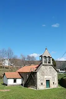 Chapel of Nossa Senhora da Ponte | |
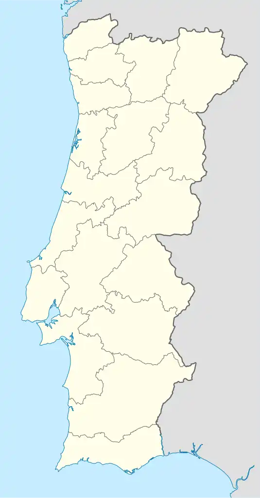 França Location in Portugal | |
| Coordinates: 41°54′04″N 6°44′20″W / 41.901°N 6.739°W | |
| Country | |
| Region | Norte |
| Intermunic. comm. | Terras de Trás-os-Montes |
| District | Bragança |
| Municipality | Bragança |
| Area | |
| • Total | 53.71 km2 (20.74 sq mi) |
| Population (2011) | |
| • Total | 238 |
| • Density | 4.4/km2 (11/sq mi) |
| Time zone | UTC±00:00 (WET) |
| • Summer (DST) | UTC+01:00 (WEST) |
França is a civil parish in the municipality of Bragança, Portugal. The population in 2011 was 238,[1] in an area of 53.71 km².[2]

Road sign when arriving in França
References
- ↑ Instituto Nacional de Estatística
- ↑ Eurostat Archived October 7, 2012, at the Wayback Machine
Wikimedia Commons has media related to França.
This article is issued from Wikipedia. The text is licensed under Creative Commons - Attribution - Sharealike. Additional terms may apply for the media files.