Frank, West Virginia | |
|---|---|
Census-designated place (CDP) | |
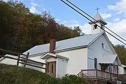 Nazarene church | |
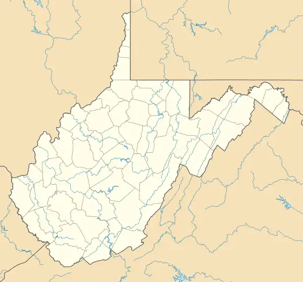 Frank, West Virginia Location within the state of West Virginia | |
| Coordinates: 38°32′54″N 79°48′20″W / 38.54833°N 79.80556°W | |
| Country | United States |
| State | West Virginia |
| County | Pocahontas |
| Area | |
| • Total | 0.383 sq mi (0.99 km2) |
| • Land | 0.383 sq mi (0.99 km2) |
| • Water | 0 sq mi (0 km2) |
| Population | |
| • Total | 90 |
| • Density | 230/sq mi (91/km2) |
| Time zone | UTC-5 (Eastern (EST)) |
| • Summer (DST) | UTC-4 (EDT) |
Frank is a census-designated place (CDP) in Pocahontas County, West Virginia, United States. The population was 90 at the 2010 census.[2] It was named to honor Frank Hoffman in 1926. Hoffman was the proprietor of a local tannery.[3]
The unemployment rate in Frank is 6.2% (U.S. avg. is 3.9%). Compared to the rest of the country, Frank's cost of living is 28.8% lower than the U.S. average.
References
- ↑ "US Gazetteer files: 2010, 2000, and 1990". United States Census Bureau. February 12, 2011. Retrieved April 23, 2011.
- 1 2 "U.S. Census website". United States Census Bureau. Retrieved May 14, 2011.
- ↑ Kenny, Hamill (1945). West Virginia Place Names: Their Origin and Meaning, Including the Nomenclature of the Streams and Mountains. Piedmont, WV: The Place Name Press. p. 250.
Municipalities and communities of Pocahontas County, West Virginia, United States | ||
|---|---|---|
| Towns |  Map of West Virginia highlighting Pocahontas County | |
| CDPs | ||
| Unincorporated communities |
| |
| Ghost towns | ||
This article is issued from Wikipedia. The text is licensed under Creative Commons - Attribution - Sharealike. Additional terms may apply for the media files.