Frankenstein | |
|---|---|
.jpg.webp) Coat of arms | |
Location of Frankenstein within Kaiserslautern district 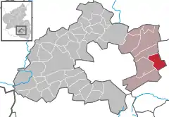 | |
 Frankenstein 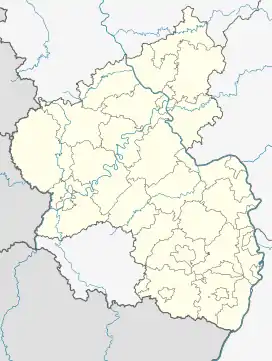 Frankenstein | |
| Coordinates: 49°26′24″N 7°58′41″E / 49.44000°N 7.97806°E | |
| Country | Germany |
| State | Rhineland-Palatinate |
| District | Kaiserslautern |
| Municipal assoc. | Enkenbach-Alsenborn |
| Government | |
| • Mayor (2019–24) | Eckhard Vogel[1] |
| Area | |
| • Total | 13.82 km2 (5.34 sq mi) |
| Elevation | 242 m (794 ft) |
| Population (2021-12-31)[2] | |
| • Total | 916 |
| • Density | 66/km2 (170/sq mi) |
| Time zone | UTC+01:00 (CET) |
| • Summer (DST) | UTC+02:00 (CEST) |
| Postal codes | 67468 |
| Dialling codes | 06329 |
| Vehicle registration | KL |
| Website | www.frankenstein.de |
Frankenstein is a municipality in the district of Kaiserslautern, in Rhineland-Palatinate, western Germany. On a hill towering over the village is Frankenstein Castle. Frankenstein (Pfalz) station is located on the Mannheim–Saarbrücken railway.
References
- ↑ Direktwahlen 2019, Landkreis Kaiserslautern, Landeswahlleiter Rheinland-Pfalz, accessed 9 August 2021.
- ↑ "Bevölkerungsstand 2021, Kreise, Gemeinden, Verbandsgemeinden" (in German). Statistisches Landesamt Rheinland-Pfalz. 2022.
This article is issued from Wikipedia. The text is licensed under Creative Commons - Attribution - Sharealike. Additional terms may apply for the media files.