| Fresnoy Mountain | |
|---|---|
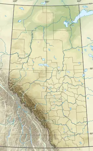 Fresnoy Mountain Location in Alberta and British Columbia 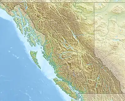 Fresnoy Mountain Fresnoy Mountain (British Columbia) | |
| Highest point | |
| Elevation | 3,240 m (10,630 ft)[1][2] |
| Prominence | 133[3] m (436 ft)[3] |
| Parent peak | Mount Alexandra (3401 m)[3] |
| Listing | |
| Coordinates | 51°59′48″N 117°13′01″W / 51.9966°N 117.2169°W[4] |
| Geography | |
| Country | Canada |
| Provinces | Alberta and British Columbia |
| Protected area | Banff National Park |
| Parent range | Park Ranges |
| Topo map | NTS 82N14 Rostrum Peak[4] |
| Climbing | |
| First ascent | 1902 by James Outram and Christian Kaufmann[3] |
Fresnoy Mountain is located on the border of Alberta and British Columbia. It was named in 1919 after Fresnoy-en-Gohelle, a village in France, in commemoration of the World War I battle fought there by Canadian forces in 1917.[3][1]
See also
References
- 1 2 "Fresnoy Mountain". cdnrockiesdatabases.ca. Retrieved 2019-08-20.
- ↑ "Topographic map of Fresnoy Mountain". opentopomap.org. Retrieved 2021-08-31.
- 1 2 3 4 5 "Fresnoy Mountain". Bivouac.com. Retrieved 2021-08-31.
- 1 2 "Fresnoy Mountain (Alberta)". Geographical Names Data Base. Natural Resources Canada. Retrieved 2021-08-31.
External links
This article is issued from Wikipedia. The text is licensed under Creative Commons - Attribution - Sharealike. Additional terms may apply for the media files.