Frutillar Airport | |||||||||||
|---|---|---|---|---|---|---|---|---|---|---|---|
| Summary | |||||||||||
| Airport type | Public | ||||||||||
| Serves | Frutillar, Chile | ||||||||||
| Elevation AMSL | 469 ft / 143 m | ||||||||||
| Coordinates | 41°07′45″S 73°03′52″W / 41.12917°S 73.06444°W | ||||||||||
| Map | |||||||||||
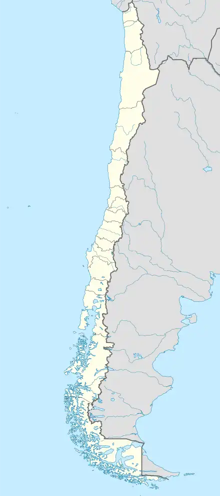
 FRT Location of Frutillar Airport in Chile | |||||||||||
| Runways | |||||||||||
| |||||||||||
Frutillar Airport (IATA: FRT, ICAO: SCFR) is an airport serving Frutillar, a town at the western end of Llanquihue Lake in the Los Lagos Region of Chile.
The runway lies alongside the Pan-American Highway just to the west of Frutillar, and has an additional 120 metres (390 ft) of grass overrun on the south end.
The Puerto Montt VOR-DME (Ident: MON) is 17.9 nautical miles (33.2 km) south of the airport.[5]
See also
References
- ↑ IATA Codesearch FRT
- ↑ Airport record for SCFR at Landings.com Retrieved 2013-11-03
- ↑ Airport information for Frutillar Airport at Great Circle Mapper.
- ↑ Google Maps Frutillar Airport
- ↑ Puerto Montt VOR
External links
- Frutillar Airport at OpenStreetMap
- Frutillar Airport at OurAirports
- Aeronautical chart and airport information for Frutillar Airport at SkyVector
- Frutillar Airport at FallingRain
- Accident history for Frutillar Airport at Aviation Safety Network
This article is issued from Wikipedia. The text is licensed under Creative Commons - Attribution - Sharealike. Additional terms may apply for the media files.