| Frye Mesa Reservoir | |
|---|---|
 Frye Mesa Reservoir | |
| Location | Graham County, Arizona, United States |
| Coordinates | 32°45′14″N 109°50′03″W / 32.75389°N 109.83417°W[1] |
| Type | reservoir |
| Basin countries | United States |
| Surface area | 4 acres (1.6 ha) |
| Average depth | 95 ft (29 m) |
| Surface elevation | 5,500 ft (1,700 m) |
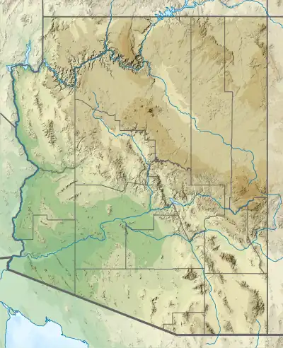
Frye Mesa Reservoir is located in southeastern Arizona, 15 miles (24 km) southwest of Safford in the Coronado National Forest.
Fish species
References
- Information and Education Division (2007), Arizona Fishin' Holes, Phoenix, AZ: Arizona Game and Fish Department
External links
This article is issued from Wikipedia. The text is licensed under Creative Commons - Attribution - Sharealike. Additional terms may apply for the media files.