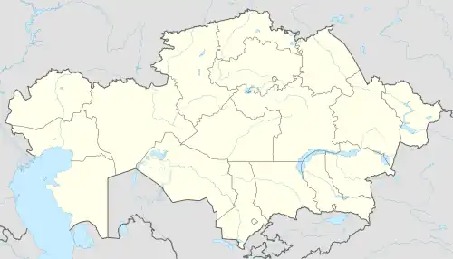
Moiynkum
Мойынқұм | |
|---|---|
village | |
 Moiynkum | |
| Coordinates: 44°17′9″N 72°56′14″E / 44.28583°N 72.93722°E | |
| Country | Kazakhstan |
| Region | Jambyl Region |
| District | Moiynkum District |
| Population (2009)[1] | |
| • Total | 8,463 |
| Time zone | UTC+6 |
Moiynkum (Kazakh: Мойынқұм; until 1997 Furmanovka) is a village (auyl) in southeastern Kazakhstan. It is the seat of Moiynkum District of Jambyl Region. Population: 8,463 (2009 Census results);[1].
Geography
The village is located by the Chu river, 80 kilometers (50 mi) to the southeast of lake Kokuydynkol. It lies at the northeastern edge of the Moiynkum Desert.[2][3]
References
- 1 2 "Население Республики Казахстан" [Population of the Republic of Kazakhstan] (in Russian). Департамент социальной и демографической статистики. Retrieved 8 December 2013.
- ↑ "L-42 Topographic Chart (in Russian)". Retrieved 21 January 2023.
- ↑ Google Earth.
This article is issued from Wikipedia. The text is licensed under Creative Commons - Attribution - Sharealike. Additional terms may apply for the media files.
