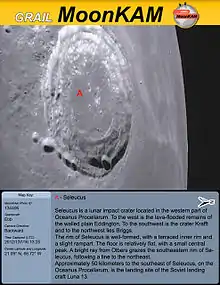
GRAIL MoonKAM (Moon Knowledge Acquired by Middle school students) was part of NASA’s GRAIL satellite mission to map the Moon’s gravity.[1]
The twin GRAIL (Gravity Recovery and Interior Laboratory) satellites orbited the Moon from December 2011 to December 2012. The data they sent back deepened our understanding of the Moon’s gravity and interior composition.[2]
GRAIL was NASA’s first planetary mission with instruments fully dedicated to education and public outreach. The MoonKAM program was also created to teach schoolchildren. Cameras aboard the GRAIL satellites took thousands of photographs during the mission.[1]
History
In March 2012, the GRAIL MoonKam was created. It lasted until December 2012.[1][3] The Sally K. Ride Impact Site was created by the GRAIL MoonKam.[4]
References
- 1 2 3 "About GRAIL MoonKAM". Sally Ride Science. Archived from the original on 18 May 2015. Retrieved 20 April 2015.
- ↑ "GRAIL: Gravity Recovery and Interior Laboratory". NASA. Retrieved 20 April 2015.
- ↑ "GRAIL Recovery and Interior Laboratory (GRAIL)". Sally Ride Science. Archived from the original on 7 October 2015. Retrieved 20 April 2015.
- ↑ "NASA's GRAIL Lunar Impact Site Named for Astronaut Sally Ride". NASA. Retrieved 20 April 2015.