Gahcho Kue Aerodrome | |||||||||||
|---|---|---|---|---|---|---|---|---|---|---|---|
| Summary | |||||||||||
| Airport type | Private | ||||||||||
| Owner/Operator | De Beers Canada | ||||||||||
| Serves | Gahcho Kue Diamond Mine Project | ||||||||||
| Location | Kennady Lake | ||||||||||
| Time zone | MST (UTC−07:00) | ||||||||||
| • Summer (DST) | MDT (UTC−06:00) | ||||||||||
| Elevation AMSL | 1,429 ft / 436 m | ||||||||||
| Coordinates | 63°26′07″N 109°08′41″W / 63.43528°N 109.14472°W | ||||||||||
| Map | |||||||||||
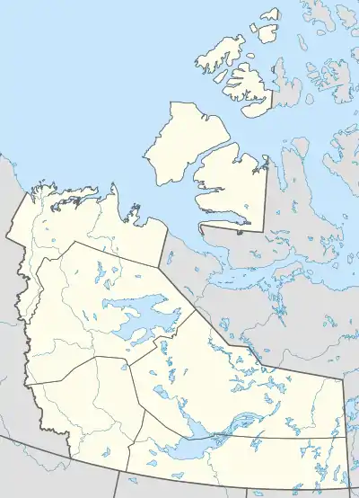
 GHK Location in the Northwest Territories | |||||||||||
| Runways | |||||||||||
| |||||||||||
Source: Canada Flight Supplement[1] | |||||||||||
Gahcho Kue Aerodrome (IATA: GHK, TC LID: CGK2) is an airport located 1.4 nautical miles (2.6 km; 1.6 mi) east southeast of the Gahcho Kue Diamond Mine Project, Northwest Territories, Canada. The airport is owned and operated by De Beers Canada and serves the Gahcho Kue Diamond Mine Project. The airport originally was an ice runway on Kennady Lake and was 5,146 ft (1,569 m) in length and numbered 08/26. The ice runway was only open from January to April.
References
This article is issued from Wikipedia. The text is licensed under Creative Commons - Attribution - Sharealike. Additional terms may apply for the media files.