Galabinov Spur (Bulgarian: Гълъбинов рид, ‘Galabinov Rid’ \g&-l&-'bi-nov 'rid\ is the narrow rocky ridge descending from elevation 1700 m to 975 m[1] and projecting from Detroit Plateau 1.7 km west-northwestwards into upper Cayley Glacier on Danco Coast in Graham Land, Antarctica.
The ridge is named after Chavdar Galabinov, construction engineer at St. Kliment Ohridski base in 2005/06 and subsequent seasons.
Location
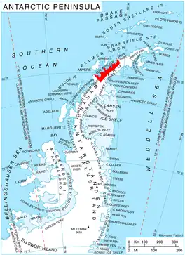
Galabinov Spur is located at 64°27′39″S 60°36′17″W / 64.46083°S 60.60472°W, which is 1.75 km northeast of the parallel Davidov Spur, 7.5 km southeast of Mount Berry, and 12.8 km west-northwest of Batkun Peak on Nordenskjöld Coast. British mapping in 1978.
Maps
- British Antarctic Territory. Scale 1:200000 topographic map. DOS 610 Series, Sheet W 64 60. Directorate of Overseas Surveys, Tolworth, UK, 1978.
- Antarctic Digital Database (ADD). Scale 1:250000 topographic map of Antarctica. Scientific Committee on Antarctic Research (SCAR). Since 1993, regularly upgraded and updated.
Notes
- ↑ Reference Elevation Model of Antarctica. Polar Geospatial Center. University of Minnesota, 2019
References
- Bulgarian Antarctic Gazetteer. Antarctic Place-names Commission. (details in Bulgarian, basic data in English)
- Galabinov Spur. SCAR Composite Gazetteer of Antarctica
External links
- Galabinov Spur. Adjusted Copernix satellite image
This article includes information from the Antarctic Place-names Commission of Bulgaria which is used with permission.