Ganzhuang Subdistrict
甘庄街道 | |
|---|---|
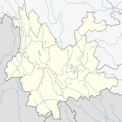
 Ganzhuang Subdistrict Location in Yunnan. | |
| Coordinates: 23°42′05″N 102°00′33″E / 23.701494°N 102.009114°E | |
| Country | People's Republic of China |
| Province | Yunnan |
| Prefecture-level city | Yuxi |
| Autonomous county | Yuanjiang Hani, Yi and Dai Autonomous County |
| Area | |
| • Total | 594.5 km2 (229.5 sq mi) |
| Population (2017) | |
| • Total | 24,966 |
| • Density | 42/km2 (110/sq mi) |
| Time zone | UTC+08:00 (China Standard) |
| Postal code | 653308 |
| Area code | 0877 |
Ganzhuang Subdistrict (simplified Chinese: 甘庄街道; traditional Chinese: 甘莊街道; pinyin: Gānzhuāng Jiēdào) is a subdistrict in Yuanjiang Hani, Yi and Dai Autonomous County, Yunnan, China.[1] As of the 2017 census it had a population of 24,966 and an area of 594.5-square-kilometre (229.5 sq mi).
Administrative division
As of 2016, the subdistrict is divided into four communities and nine villages:
- Hongxin Community (红新社区)
- Ganzhuang Community (甘庄社区)
- Ganba Community (干坝社区)
- Qinglongchang Community (青龙厂社区)
- Take (它克村)
- Guoluozhi (果洛垤村)
- Tongchangchong (铜厂冲村)
- Cuoke (撮科村)
- Abudu (阿不都村)
- Jiamodai (假莫代村)
- Pengcheng (朋程村)
- Lutong (路通村)
- Xilahe (西拉河村)
Geography
The subdistrict enjoys a subtropical monsoon humid climate, with an average annual temperature of 19 °C (66 °F), total annual rainfall of 1,100-millimetre (43 in).
Economy
The subdistrict's economy is based on nearby mineral resources and agricultural resources. Tobacco, sugarcane, and fruit are commercial crops in the region. The region abounds with copper and iron.
Transportation
The National Highway G213 passes across the subdistrict.
References
- ↑ Zhang Rong (张荣); He Songyang (何松阳); Li Jun (李俊) (6 March 2021). 它克千亩桃花开,约起!. qq.com (in Chinese). Retrieved 6 March 2021.
Bibliography
- Yan Zhongwu, ed. (2008). "Administrative divisions" 行政区划. 《元江哈尼族彝族傣族自治县概况》 [General Situation of Yuanjiang Hani, Yi and Dai Autonomous County] (in Chinese). Beijing: Nationalities Publishing House. ISBN 978-7-105-08564-4.