| Gapjangsan | |
|---|---|
 Gapjangsan | |
| Highest point | |
| Elevation | 806 m (2,644 ft) |
| Coordinates | 36°20′51″N 128°11′20″E / 36.34750°N 128.18889°E |
| Geography | |
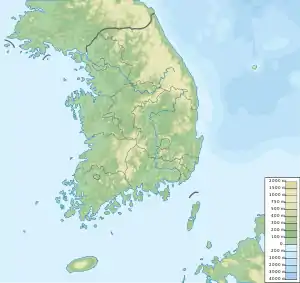
| Location | Gyeongsangbuk-do, South Korea |
| Korean name | |
| Hangul | |
|---|---|
| Hanja | |
| Revised Romanization | Gapjangsan |
| McCune–Reischauer | Kapchangsan |
Gapjangsan is a mountain of Gyeongsangbuk-do, eastern South Korea. It has an elevation of 806 metres.[1]
See also
References
This article is issued from Wikipedia. The text is licensed under Creative Commons - Attribution - Sharealike. Additional terms may apply for the media files.