Garhi Habibullah
Upper Pakhli | |
|---|---|
Union council and town | |
| Garhi Habibullah | |
 A view of Garhi Habib Khan Jehangiri from Aznali Hills | |
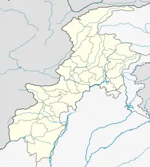 Garhi Habibullah Location in Pakistan  Garhi Habibullah Garhi Habibullah (Pakistan) | |
| Coordinates: 34°24′05″N 73°22′49″E / 34.4014°N 73.3803°E | |
| Country | Pakistan |
| Region | Khyber-Pakhtunkhwa |
| District | Mansehra District |
| Government | |
| • Type | Mayor |
| Time zone | UTC+5 (PST) |
| Area code | 0997 |
Garhi Habibullah is a town and union council (an administrative subdivision) of Mansehra District in the Khyber-Pakhtunkhwa province of Pakistan.[1] It is located in Balakot Tehsil and lies to the east of district capital Mansehra, towards the Kashmir frontier (near to Muzaffarabad the capital of Azad Kashmir). It was affected by the 2005 Kashmir earthquake.[2] Garhi is basically divided into 5 separate Khanates. 1) Khans of Babar Colony, Khans of Jabbi, Khans of Naral, Khans of Seri and Khans of Butsing.[3]
Land Revenue
According to 1872 division of Hazara District, Garhi Habib Khan Jehangiri was divided among 5 families into 5 Hundis/Jageers.[4]
Tribes
Notables
- Wajid Hamayun Khan (Politician)
References
- ↑ Tehsils & Unions in the District of Mansehra - Government of Pakistan Archived July 18, 2011, at the Wayback Machine
- ↑ Earthquake Affected Area Overview - United Nations Joint Logistics Centre Archived September 13, 2012, at archive.today
- ↑ "Swati Family : History of Garhi Habibullah". Swati Family. 2023-07-25. Retrieved 2023-07-25.
- ↑ "Swati Family : History of Garhi Habibullah". Swati Family. 2023-07-25. Retrieved 2023-07-25.
This article is issued from Wikipedia. The text is licensed under Creative Commons - Attribution - Sharealike. Additional terms may apply for the media files.