General Manuel Serrano Airport | |||||||||||
|---|---|---|---|---|---|---|---|---|---|---|---|
| Summary | |||||||||||
| Airport type | Closed | ||||||||||
| Serves | Machala, Ecuador | ||||||||||
| Elevation AMSL | 11 ft / 3 m | ||||||||||
| Coordinates | 03°16′08″S 79°57′41″W / 3.26889°S 79.96139°W | ||||||||||
| Map | |||||||||||
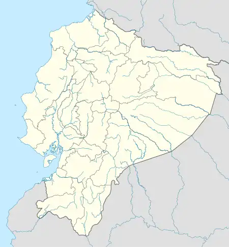
 MCH Location of the airport in Ecuador | |||||||||||
| Runways | |||||||||||
| |||||||||||
Source: Google Maps[1] | |||||||||||
General Manuel Serrano Airport (Spanish: Aeropuerto General Manuel Serrano) (IATA: MCH, ICAO: SEMH) is a closed airport formerly serving Machala, the capital of El Oro Province in Ecuador.
The airport has been replaced by Coronel Artilleria Victor Larrea Airport in Santa Rosa, 19 kilometres (12 mi) to the south.
See also
References
This article is issued from Wikipedia. The text is licensed under Creative Commons - Attribution - Sharealike. Additional terms may apply for the media files.