Germansville, Pennsylvania | |
|---|---|
Unincorporated community | |
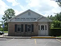 The U.S. Post Office in Germansville, June 2013 | |
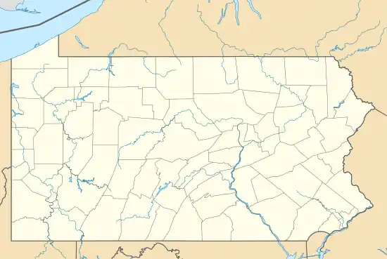 Germansville, Pennsylvania Location of Germansville in Pennsylvania  Germansville, Pennsylvania Germansville, Pennsylvania (the United States) | |
| Coordinates: 40°42′05″N 75°42′25″W / 40.70139°N 75.70694°W | |
| Country | |
| State | |
| County | Lehigh |
| Township | Heidelberg |
| Elevation | 184 m (604 ft) |
| Population | |
| • Metro | 865,310 (US: 68th) |
| Time zone | UTC-5 (EST) |
| • Summer (DST) | UTC-4 (EDT) |
| ZIP Code | 18053[1] |
| Area code(s) | 610 and 484 |
| GNIS feature ID | 1175559[2] |
Germansville (/ˈɡɜːrmənsvɪl/ GER-məns-vil) is an exurban, unincorporated community which is located in Heidelberg Township in Lehigh County, Pennsylvania.
It is part of the Lehigh Valley, which has a population of 861,899 and was the 68th-most populous metropolitan area in the U.S. as of the 2020 census.
Geography
Situated on Jordan Creek, it is located approximately two miles (3.2 km) north of Pleasant Corners and 20 miles (32 km) northwest of Allentown.[3]
References
- ↑
- ↑ "Germansville". Geographic Names Information System. United States Geological Survey, United States Department of the Interior.
- ↑ General Highway Map: Lehigh County (PDF) (Map) (2021 ed.). 1:65,000. Pennsylvania Department of Transportation. 2021. Retrieved January 27, 2022.
Places adjacent to Germansville, Pennsylvania | ||||||||||||||||
|---|---|---|---|---|---|---|---|---|---|---|---|---|---|---|---|---|
| ||||||||||||||||
Municipalities and communities of Lehigh County, Pennsylvania, United States | ||
|---|---|---|
| Region |  | |
| Cities | ||
| Boroughs | ||
| Townships | ||
| CDPs | ||
| Unincorporated communities |
| |
| Notable people | ||
| Culture | ||
| Footnotes | ‡This populated place also has portions in an adjacent county or counties | |
This article is issued from Wikipedia. The text is licensed under Creative Commons - Attribution - Sharealike. Additional terms may apply for the media files.