40°53′45″N 45°07′53″E / 40.89583°N 45.13139°E
Getahovit
Գետահովիտ | |
|---|---|
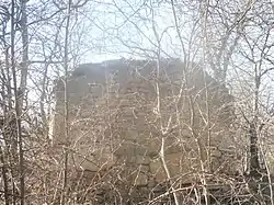
 Mijnashen Church near Getahovit | |
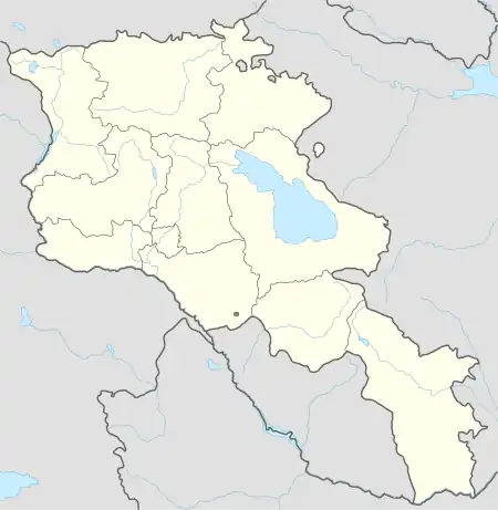
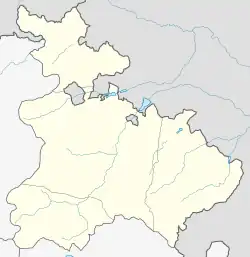
 Getahovit  Getahovit | |
| Coordinates: 40°53′45″N 45°07′53″E / 40.89583°N 45.13139°E | |
| Country | Armenia |
| Province | Tavush |
| Municipality | Ijevan |
| Elevation | 835 m (2,740 ft) |
| Population | |
| • Total | 2,123 |
| Time zone | UTC+4 (AMT) |
| Getahovit at GEOnet Names Server | |
Getahovit (Armenian: Գետահովիտ) is a village in the Ijevan Municipality of the Tavush Province of Armenia.
History
References
External links
Wikimedia Commons has media related to Cultural heritage monuments in Getahovit, Tavush.
This article is issued from Wikipedia. The text is licensed under Creative Commons - Attribution - Sharealike. Additional terms may apply for the media files.
