Ghriss Airport | |||||||||||
|---|---|---|---|---|---|---|---|---|---|---|---|
| Summary | |||||||||||
| Airport type | Public | ||||||||||
| Serves | Mascara, Algeria | ||||||||||
| Location | Ghriss, Algeria | ||||||||||
| Elevation AMSL | 1,686 ft / 514 m | ||||||||||
| Coordinates | 35°12′28″N 000°08′50″E / 35.20778°N 0.14722°E | ||||||||||
| Map | |||||||||||
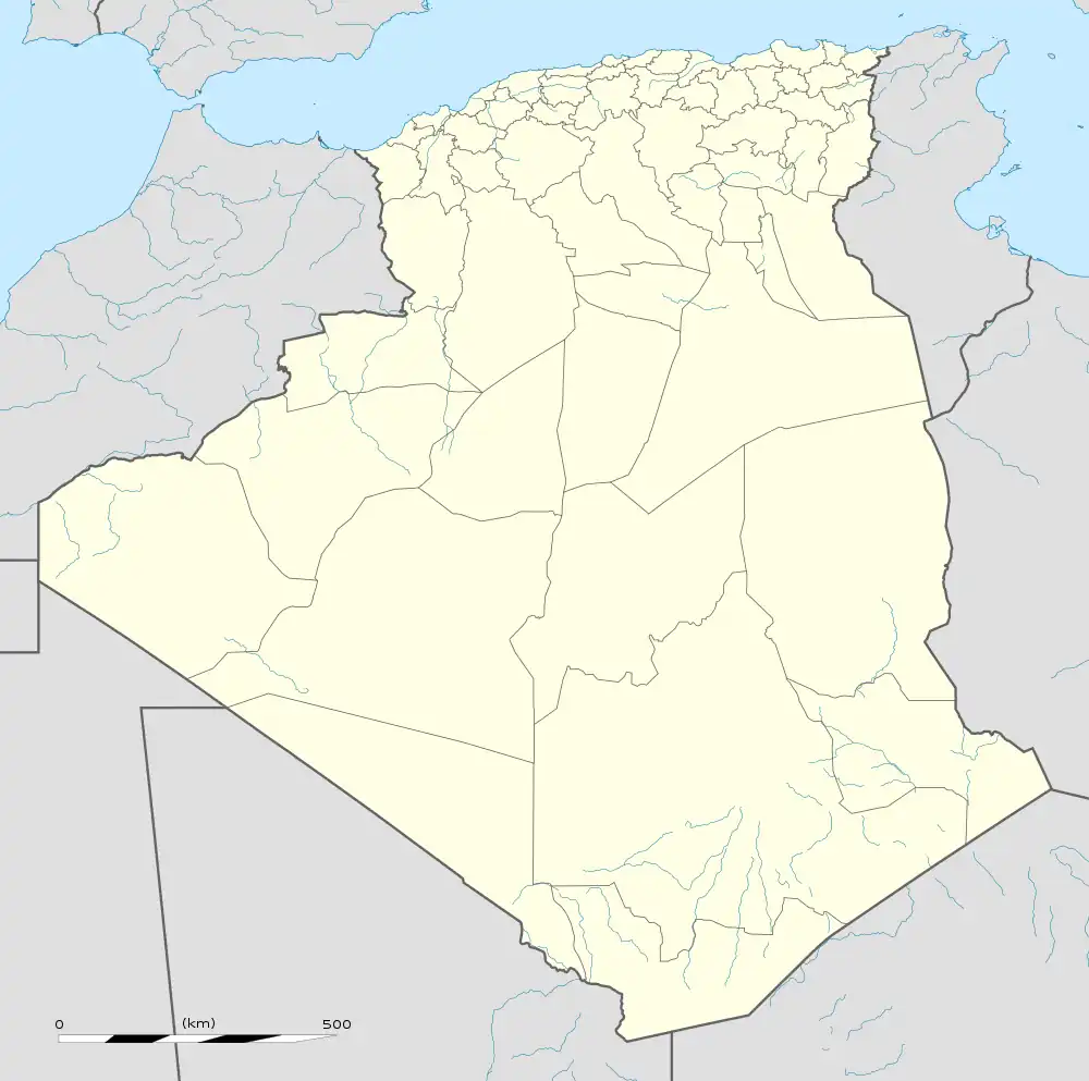
 MUW Location of airport in Algeria | |||||||||||
| Runways | |||||||||||
| |||||||||||
Ghriss Airport (IATA: MUW, ICAO: DAOV) is a civilian airport in Mascara Province, Algeria, located 5.0 km southwest of the town of Ghriss, Algeria.
World War II
During World War II, the facility was known as "Thiersville Airfield". It was a Twelfth Air Force base of operations during the North African Campaign used by the 60th Troop Carrier Group, which flew C-47 Skytrain transports from the airfield between May and June 1943.
Airlines and destinations
| Airlines | Destinations |
|---|---|
| Tassili Airlines | Algiers[1] |
References
![]() This article incorporates public domain material from the Air Force Historical Research Agency
This article incorporates public domain material from the Air Force Historical Research Agency
- Maurer, Maurer. Air Force Combat Units of World War II. Maxwell AFB, Alabama: Office of Air Force History, 1983. ISBN 0-89201-092-4.
- ↑ Liu, Jim. "Tassili Airlines adds new domestic routes in March 2020". Routesonline. Retrieved 26 February 2020.
External links
- Google Maps - Ghriss
- Accident history for MUV at Aviation Safety Network
- Airport information for DAOV at Great Circle Mapper.
- Current weather for DAOV at NOAA/NWS
- Algerian AIP and Chart
This article is issued from Wikipedia. The text is licensed under Creative Commons - Attribution - Sharealike. Additional terms may apply for the media files.