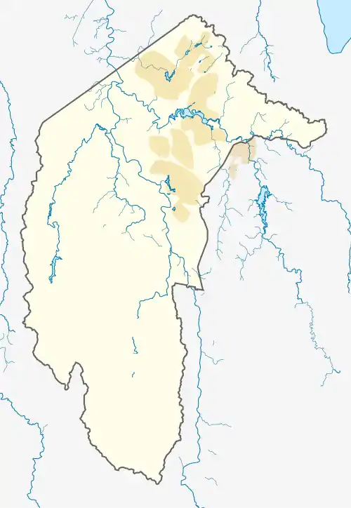
| Gilmore Canberra, Australian Capital Territory | |||||||||||||||
|---|---|---|---|---|---|---|---|---|---|---|---|---|---|---|---|
 Gilmore | |||||||||||||||
| Coordinates | 35°25′16″S 149°07′59″E / 35.421°S 149.133°E | ||||||||||||||
| Population | 2,706 (2021 census)[1] | ||||||||||||||
| • Density | 1,350/km2 (3,500/sq mi) | ||||||||||||||
| Established | 1985 | ||||||||||||||
| Gazetted | 5 August 1975 | ||||||||||||||
| Postcode(s) | 2905 | ||||||||||||||
| Area | 2.0 km2 (0.8 sq mi) | ||||||||||||||
| District | Tuggeranong | ||||||||||||||
| Territory electorate(s) | Brindabella | ||||||||||||||
| Federal division(s) | Bean | ||||||||||||||
| |||||||||||||||
Gilmore is a suburb in the Canberra, Australia district of Tuggeranong. The postcode is 2905. The suburb is named after the poet and journalist, Dame Mary Gilmore.[2] It was gazetted on 5 August 1975.[2] Streets are named after journalists, particularly female journalists.[2]
It is next to the suburbs of Macarthur and Chisholm and is bounded by the Monaro Highway, Isabella Drive and Hambidge Crescent.
Demographics
At the 2021 census, Gilmore had a population of 2,706 people. The median age of people in Gilmore was 37 years, compared to a median age of 35 for Canberra. The median weekly individual income for Gilmore in 2021 was $1,164, compared to the ACT average of $1,203, while the median weekly household income was $2,416. In 2021 the median monthly housing loan repayment in Gilmore was $2,048.[1]
The residents of Gilmore are predominantly Australian born, with 79.5% being born in Australia. The five main countries of birth for those born overseas were England, 2.9%, New Zealand, 1.3%, India, 1.3%, Philippines, 1.2% and China, 0.7%. The most popular religious affiliations in descending order are no religion, Catholic and Anglican.[1]
Suburb amenities
Gilmore Neighbourhood Oval is located on Heagney Crescent. The Rose Cottage heritage site is located off Isabella Drive is heritage listed[3] and is open to the public. The site includes a nursery and craft centre.[4] An ActewAGL Electricity substation is located in Gilmore, with access off Isabella Drive.
Several ACTION bus routes service Gilmore. Routes 74 and 75 connects Gilmore to Tuggeranong Town Centre and Erindale Centre. It also services Chisholm and Richardson.[5]
Politics
| |||||||||||||||||||||||||||
Gilmore is located within the federal electorate of Bean, which is represented by David Smith for Labor in the House of Representatives. In the ACT Legislative Assembly, Gilmore is part of the electorate of Brindabella, which elects five members on the basis of proportional representation, currently two Liberal, two Labor and one Greens.[8] Polling place statistics are shown to the right for the Gilmore polling place at Gilmore Primary School in the 2022 federal[6] and 2020 ACT[7] elections.
Geology
Gilmore is built on volcanic rocks from the Silurian age. The rock member is titled Deakin Volcanics. Rhyolite covers most of Gilmore except in the east where rhyodacite is found. These are from the Silurian age at 414 Mya.[9]
References
- 1 2 3 Australian Bureau of Statistics (28 June 2022). "Gilmore". 2021 Census QuickStats. Retrieved 8 September 2022.
- 1 2 3 Canberra's suburb and street names : origins and meanings. Department of the Environment, Land and Planning. 1992. p. 39. ISBN 1-86331-128-9.
- ↑ "Heritage Places Register" (PDF). ACT Government. Archived from the original (PDF) on 16 May 2009. Retrieved 15 February 2014.
- ↑ "Welcome". Rose Cottage Canberra. Retrieved 15 February 2014.
- ↑ Route 74 & 75 Transport Canberra
- 1 2 "Federal Election 2022 – Polling Place Gilmore". Australian Electoral Commission. 14 June 2022. Retrieved 8 September 2022.
- 1 2 "2020 Results for Brindabella Candidates at Gilmore Polling Place". ACT Electoral Commission. 13 November 2020. Retrieved 8 September 2022.
- ↑ "List of elected candidates - 2020 Election". ACT Legislative Assembly. Retrieved 8 September 2022.
- ↑ Henderson G A M and Matveev G, Geology of Canberra, Queanbeyan and Environs 1:50000 1980.