| Gold Muchalat Provincial Park | |
|---|---|
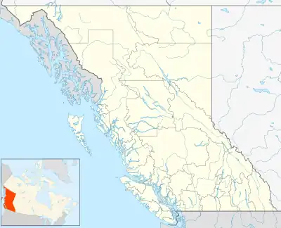 Map of British Columbia | |
| Location | Nootka Land District, British Columbia, Canada |
| Nearest city | Gold River, BC |
| Coordinates | 49°51′59″N 126°05′45″W / 49.86639°N 126.09583°W |
| Area | 645 ha. (6.45 km²) |
| Established | July 23, 1997 |
| Governing body | BC Parks |
Gold Muchalat Provincial Park is a provincial park in British Columbia, Canada, located between the Gold and Muchalat Rivers.[1]
References
This article is issued from Wikipedia. The text is licensed under Creative Commons - Attribution - Sharealike. Additional terms may apply for the media files.