Gottne | |
|---|---|
 Gottne  Gottne  Gottne | |
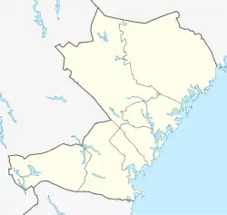
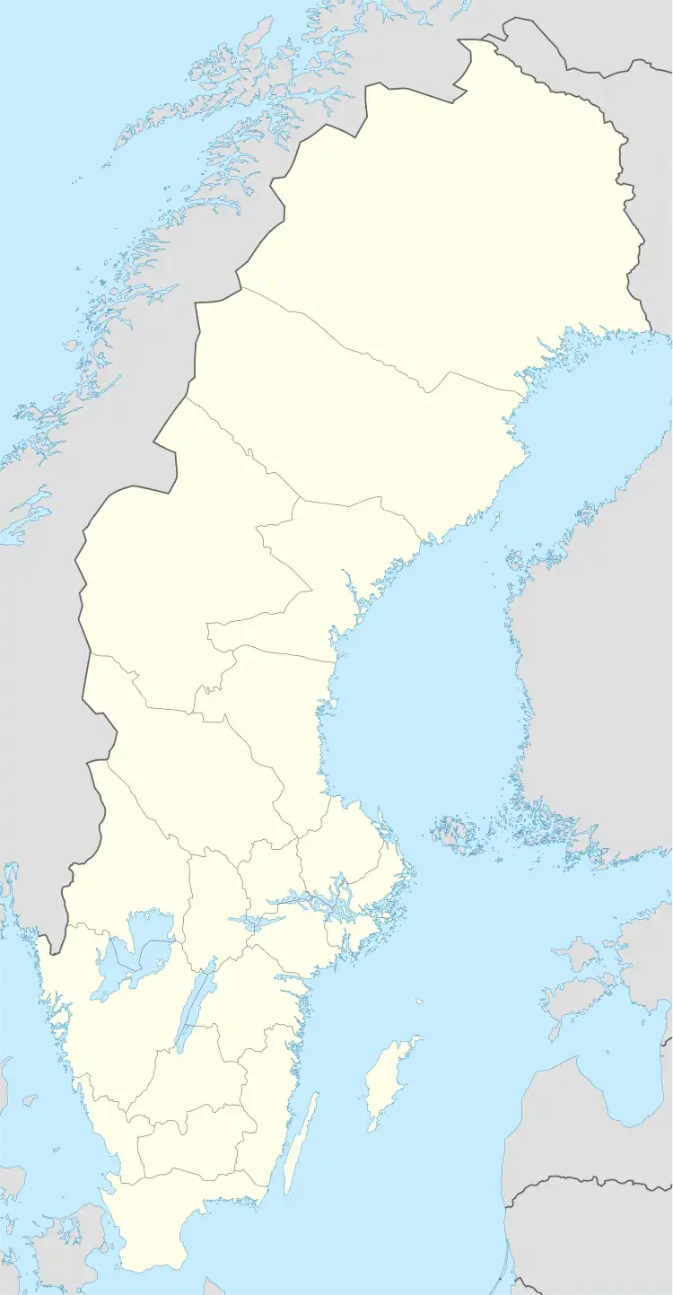
| Coordinates: 63°26′N 18°26′E / 63.433°N 18.433°E | |
| Federation | |
| State | |
| County | Västernorrland County |
| Municipality | Örnsköldsvik Municipality |
| Area | |
| • Total | 0.55 km2 (0.21 sq mi) |
| Population (31 December 2015)[1] | |
| • Total | 212 |
| • Density | 380/km2 (1,000/sq mi) |
| Time zone | UTC+1 (CET) |
| • Summer (DST) | UTC+2 (CEST) |
Gottne is a locality situated in Örnsköldsvik Municipality, Västernorrland County, Sweden. It had 218 inhabitants in 2010.[1]
History
Gottne has very old origins, among other things, arrowheads of flint have been found that probably dates back to the Neolithic Times (about 3,000 years before Christ).
Transportation
A few kilometers west of Gottne, there was a railway station along the Main Line Through Upper Norrland, Gottne Station, where a settlement grew. However, this expansion was discontinued when the station was closed down in 1963. The area around the former station is now known as Västra Gottne.
Population
In recent years, Gottne has become a Population declining area (Swedish: Avfolkningsbygd).
| Year | Pop. | ±% |
|---|---|---|
| 1980 | 204 | — |
| 1990 | 267 | +30.9% |
| 1995 | 232 | −13.1% |
| 2000 | 240 | +3.4% |
| 2005 | 226 | −5.8% |
| 2010 | 218 | −3.5% |
| 2015 | 212 | −2.8% |
| source[2] | — |
Gallery
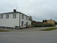
- Town


References
- 1 2 3 "Tätorternas landareal, folkmängd och invånare per km2 2005 och 2010" (in Swedish). Statistics Sweden. 14 December 2011. Archived from the original on 27 January 2012. Retrieved 10 January 2012.
- ↑ "Landareal per tätort, folkmängd och invånare per kvadratkilometer. Vart femte år 1960 - 2016". Statistiska centralbyrån. Archived from the original on 13 June 2017. Retrieved 18 May 2017.
This article is issued from Wikipedia. The text is licensed under Creative Commons - Attribution - Sharealike. Additional terms may apply for the media files.