Grabučiškės | |
|---|---|
Village | |
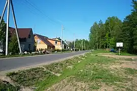
 The main street of Grabučiškės | |
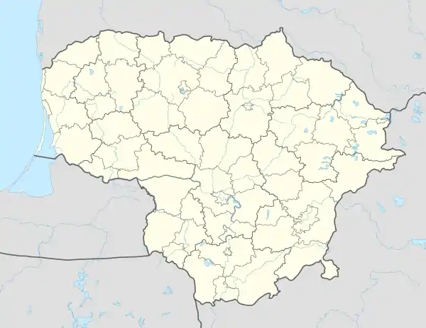
 Grabučiškės Location of Grabučiškės | |
| Coordinates: 54°53′49.2″N 24°9′10.8″E / 54.897000°N 24.153000°E | |
| Country | |
| Ethnographic region | Aukštaitija |
| County | Kaunas County |
| Municipality | Kaišiadorys district municipality |
| Eldership | Rumšiškės eldership |
| Population (2021[1]) | |
| • Total | 134 |
| Time zone | UTC+2 (EET) |
| • Summer (DST) | UTC+3 (EEST) |
Grabučiškės is a village in the Kaišiadorys District Municipality, Lithuania, located in the Kauno Marios Regional Park, 5 kilometers northwest of Rumšiškės, by the Jokūbiniai stream. Located near the highway, by the shore of Kaunas Reservoir, there is a rest area. A wooden cross was built at the entrance to the village. The village is surrounded by the Rumšiškės Forest.
History
Most of the inhabitants of Gastilonys moved to Grabučiškės in around 1960, when the Kaunas Reservoir was dammed.
Gallery
 The cross of Grabučiškės
 Oak tree in the fields of Grabučiškės
References
- ↑ "Gyventojai gyvenamosiose vietovese" [Residents in residential areas]. osp.stat.gov.lt (in Lithuanian).
This article is issued from Wikipedia. The text is licensed under Creative Commons - Attribution - Sharealike. Additional terms may apply for the media files.