| Granite Reef Dam | |
|---|---|
 Arizona Dam in c. 1903 | |
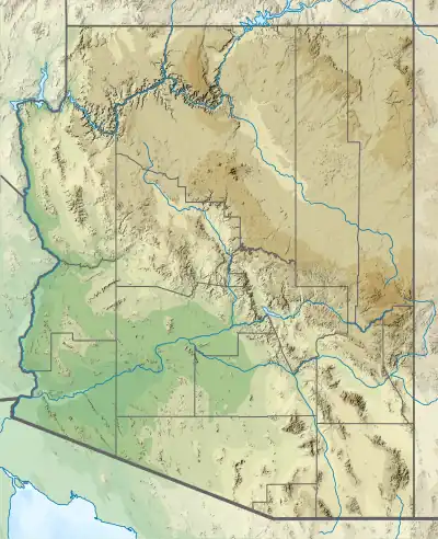
 Location of Granite Reef Dam in Arizona  Granite Reef Diversion Dam (the United States) | |
| Official name | Granite Reef Diversion Dam |
| Coordinates | 33°30′58″N 111°41′28″W / 33.51611°N 111.69111°W |
| Purpose | Irrigation |
| Construction began | 1906 |
| Opening date | 1908[1] |
| Dam and spillways | |
| Height (foundation) | 29 feet (8.8 m) |
| Length | 1,128 feet (344 m) |
| Dam volume | 35,000 cubic yards (27,000 m3)[1] |

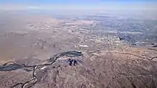
The Granite Reef Diversion Dam is a concrete diversion dam located 22 miles (35 km) Northeast of Phoenix, Arizona. It impounds the Salt River for irrigation purposes.
The dam diverts nearly all water from the Salt River into the Arizona and South Canals, which serve metropolitan Phoenix with irrigation and drinking water. The Salt River below Granite Reef is usually dry except following consistent and heavy upstream precipitation. When upstream lakes are full, minor and moderate releases are accomplished via floodgates at either end of the dam. The dam is designed to be overtopped by major releases, which can occur every 10 to 40 years.
The dam is 1,128 feet (344 m) long, 29 feet (8.8 m) high. Its volume is 35,000 cubic yards (27,000 m3).[1]
The United States Bureau of Reclamation built the dam between 1906 and 1908 to replace Arizona Dam washed out in 1905.[2] It is operated by the Salt River Project, an electric cooperative.
References
- 1 2 3 "Granite Reef Diversion Dam". United States Bureau of Reclamation. Retrieved 2018-12-30.
- ↑ "Granite Reef Diversion Dam". Salt River Project electric cooperative. Retrieved 30 December 2018.
External links
 Media related to Granite Reef Diversion Dam at Wikimedia Commons
- Historic American Engineering Record (HAER) No. AZ-51, "Granite Reef Diversion Dam, Salt River, Mesa, Maricopa County, AZ", 54 photos, 43 data pages, 6 photo caption pages